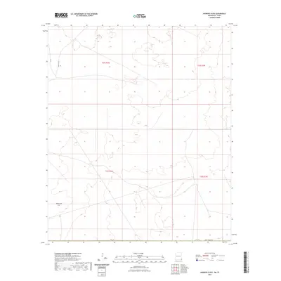
2023 Map of Andrews Place
USGS Topo · Published 2023About this map
Rattlesnake Flat characterizes the wide, open terrain of this remote corner of southeastern Lea County, where the high desert landscape meets the Texas border. This contemporary survey details the section lines and township boundaries of the Permian Basin, specifically within t25s r34e, t25s r35e, t26s r34e, and t26s r35e. The map illustrates a sparse network of essential transport routes, including Battle Axe Rd and Co Rd 2, which provide access through the arid basins and occasional depressions typical of this oil-rich region. The lack of concentrated settlements highlights the industrial and pastoral focus of the area, serving as a clean record of modern land management and township organization on the New Mexico-Texas line.
Find a feature on this map
9 named features on this map. Tap any name to fly to it.
Don’t see what you’re looking for? This feature index may not catch every label — zoom into the map to look around manually.
Map Details
Editions of this 2023 Andrews Place Map
This is the sole edition of this map. No revisions or reprints were ever made.
Other maps of this area

1954 · Hobbs
USGS Topo · 1:250,000

1954 · Pecos
USGS Topo · 1:250,000

1957 · Pecos
USGS Topo · 1:250,000

1958 · Hobbs
USGS Topo · 1:250,000

1969 · Rudd Draw NE
USGS Topo · 1:24,000

1970 · Brunson Ranch
USGS Topo · 1:24,000

1970 · Cheyenne Draw
USGS Topo · 1:24,000

1973 · Javelina Basin
USGS Topo · 1:24,000

1973 · Bell Lake
USGS Topo · 1:24,000

1973 · Paduca Breaks East
USGS Topo · 1:24,000