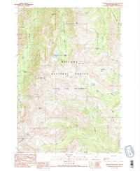
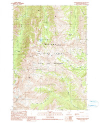
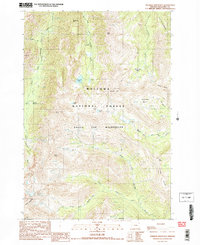
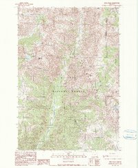
1990 Map of Aneroid Mountain
USGS Topo · Published 1990About this map
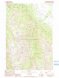
Wallowa National Forest dominates this high-altitude landscape, centered on the dramatic peaks and basins of the Eagle Cap Wilderness. The terrain is defined by extreme elevation changes, rising from Six-Mile Meadow to the prominent heights of Aneroid Mountain and Petes Point. This area serves as a primary headwater source, where the West Fork and East Fork Wallowa Rivers begin their descent.
Find a feature on this map
36 named features on this map. Tap any name to fly to it.
Don’t see what you’re looking for? This feature index may not catch every label — zoom into the map to look around manually.
Map Details
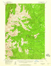
Editions of this 1990 Aneroid Mountain Map
3 editions found
Other maps of this area
1954 · Cornucopia
USGS Topo · 1:62,500

1954 · Eagle Cap
USGS Topo · 1:62,500

1955 · Grangeville
USGS Topo · 1:250,000
1957 · Enterprise
USGS Topo · 1:62,500
1957 · Joseph
USGS Topo · 1:62,500

1959 · Grangeville
USGS Topo · 1:250,000
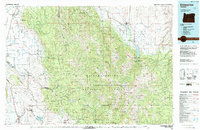
1986 · Enterprise
USGS Topo · 1:100,000
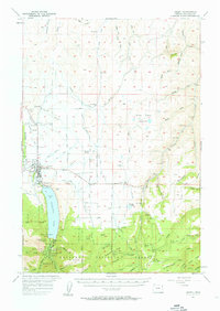
1990 · Krag Peak
USGS Topo · 1:24,000

1990 · Deadman Point
USGS Topo · 1:24,000
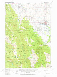
1990 · Chief Joseph Mtn
USGS Topo · 1:24,000