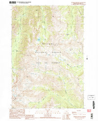
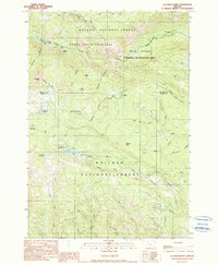
1990 Map of Aneroid Mountain
USGS Topo · Published 1990About this map
Aneroid Mtn and the surrounding high country of the Eagle Cap Wilderness dominate this 1990 provisional survey, capturing a landscape defined by glaciated basins and alpine lakes. The geography is shaped by the headwaters of major drainage systems, including the West Fork Wallowa River and the three forks of the Imnaha River. Evidence of early twentieth-century resource exploration is found in several marked prospects and a tunnel near Aneroid Lake.
Find a feature on this map
33 named features on this map. Tap any name to fly to it.
Don’t see what you’re looking for? This feature index may not catch every label — zoom into the map to look around manually.
Map Details
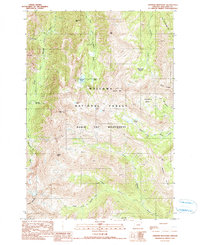
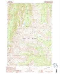
Editions of this 1990 Aneroid Mountain Map
3 editions found
Other maps of this area

1954 · Cornucopia
USGS Topo · 1:62,500

1954 · Eagle Cap
USGS Topo · 1:62,500

1955 · Grangeville
USGS Topo · 1:250,000

1957 · Enterprise
USGS Topo · 1:62,500

1957 · Joseph
USGS Topo · 1:62,500

1959 · Grangeville
USGS Topo · 1:250,000

1986 · Enterprise
USGS Topo · 1:100,000
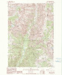
1990 · Krag Peak
USGS Topo · 1:24,000
1990 · Deadman Point
USGS Topo · 1:24,000

1990 · Chief Joseph Mtn
USGS Topo · 1:24,000