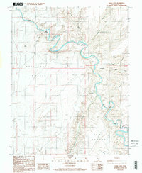
1986 Map of Angel Cove
USGS Topo · Published 1987About this map
Dirty Devil River carves a complex, winding path through this corner of Utah as it appeared during the mid-1980s. The river's serpentine course is the primary geographical feature, exhibiting dramatic oxbows and tight bends that define the surrounding terrain of Wayne and Garfield counties. While this provisional 1986 survey primarily documents the hydrological and topographical relief of the area, the name of the river itself reflects the early exploratory history of the region. The landscape is characterized by its isolation and the deep incision of the watercourse, which has historically influenced travel and land use in this part of the Southwest. Researchers can trace the river's alignment and elevation before subsequent decades of erosion and shifting sediment altered the banks of this remote waterway.
Find a feature on this map
1 named feature on this map. Tap any name to fly to it.
Don’t see what you’re looking for? This feature index may not catch every label — zoom into the map to look around manually.
Map Details
Editions of this 1986 Angel Cove Map
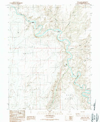
2 editions found
Other maps of this area

1885 · San Rafael
USGS Topo · 1:250,000

1952 · Mt. Ellen 4 NW
USGS Topo · 1:24,000

1952 · Bull Mountain
USGS Topo · 1:62,500

1953 · Orange Cliffs 3 NW
USGS Topo · 1:24,000

1953 · Fiddler Butte
USGS Topo · 1:62,500

1954 · Mt. Ellen 1 NW
USGS Topo · 1:24,000

1954 · Mt. Ellen 1 SW
USGS Topo · 1:24,000

1956 · Salina
USGS Topo · 1:250,000

1960 · Salina
USGS Topo · 1:250,000

1962 · Salina
USGS Topo · 1:250,000