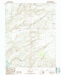
1986 Map of Angel Point
USGS Topo · Published 1987About this map
Dirty Devil River carves the southwestern corner of this landscape, a region defined by intricate drainage systems and high plateaus. In the mid-1980s, the terrain was dominated by the deep incisions of North Fork Robbers Roost Canyon, Middle Fork Robbers Roost Canyon, and South Fork Robbers Roost Canyon, names that recall the area's history as a refuge for those seeking to avoid detection. On the elevated flats of Angel Point, a remote Landing Strip suggests the necessity of aerial access for ranching or surveying in this complex topography. To the south, No Mans Canyon and Larry Canyon illustrate the isolation of the territory, while Bull Pasture indicates the sparse but present livestock grazing operations that utilized the few accessible reaches above the river. This survey captures a moment when the primitive road network was the primary link between isolated landmarks like Lost Spring and the wider world.
Find a feature on this map
10 named features on this map. Tap any name to fly to it.
Don’t see what you’re looking for? This feature index may not catch every label — zoom into the map to look around manually.
Map Details
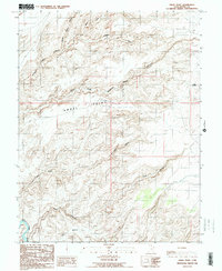
Editions of this 1986 Angel Point Map
2 editions found
Other maps of this area

1885 · San Rafael
USGS Topo · 1:250,000

1952 · Bull Mountain
USGS Topo · 1:62,500

1953 · Orange Cliffs 3 NE
USGS Topo · 1:24,000

1953 · Orange Cliffs 3 NW
USGS Topo · 1:24,000

1953 · Fiddler Butte
USGS Topo · 1:62,500

1956 · Salina
USGS Topo · 1:250,000

1960 · Salina
USGS Topo · 1:250,000

1962 · Salina
USGS Topo · 1:250,000

1963 · Robbers Roost Canyon
USGS Topo · 1:62,500
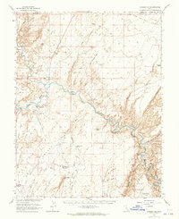
1963 · Hanksville
USGS Topo · 1:62,500