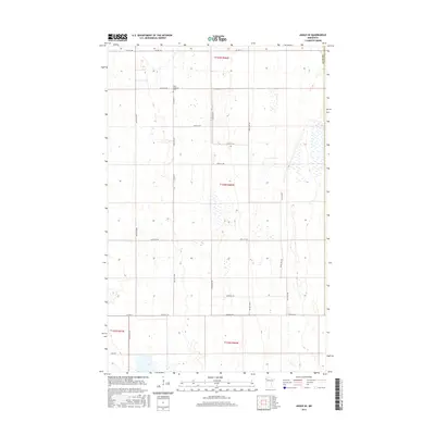
2016 Map of Angus SE
USGS Topo · Published 2016About this map
Melo Lutheran Cem serves as a primary historical landmark in this corner of Polk Co, Minnesota, marking a settled community node within a landscape primarily defined by agricultural grid patterns. The area is intersected by several important local thoroughfares, including Co Hwy 23, Co Hwy 69, and Co Hwy 21, which facilitate travel through the expansive plains. The topography here is extremely level, characteristic of the Red River Valley region, with subtle elevation changes indicated by five-foot contours. Small depressions and scattered wetlands are visible throughout the township sections, suggesting the natural drainage patterns of this prairie landscape before the development of modern road systems like 170th St NW and Center St W.
Find a feature on this map
26 named features on this map. Tap any name to fly to it.
Don’t see what you’re looking for? This feature index may not catch every label — zoom into the map to look around manually.
Map Details
Editions of this 2016 Angus SE Map
This is the sole edition of this map. No revisions or reprints were ever made.
Other maps of this area

1918 · Angus
USGS Topo · 1:62,500

1918 · Red Lake Falls
USGS Topo · 1:62,500

1918 · Viking
USGS Topo · 1:62,500

1952 · Red Lake Falls
USGS Topo · 1:62,500

1952 · Grand Forks
USGS Topo · 1:250,000

1952 · Thief River Falls
USGS Topo · 1:250,000

1953 · Crookston
USGS Topo · 1:62,500

1956 · Thief River Falls
USGS Topo · 1:250,000

1956 · Grand Forks
USGS Topo · 1:250,000

1957 · Thief River Falls
USGS Topo · 1:250,000