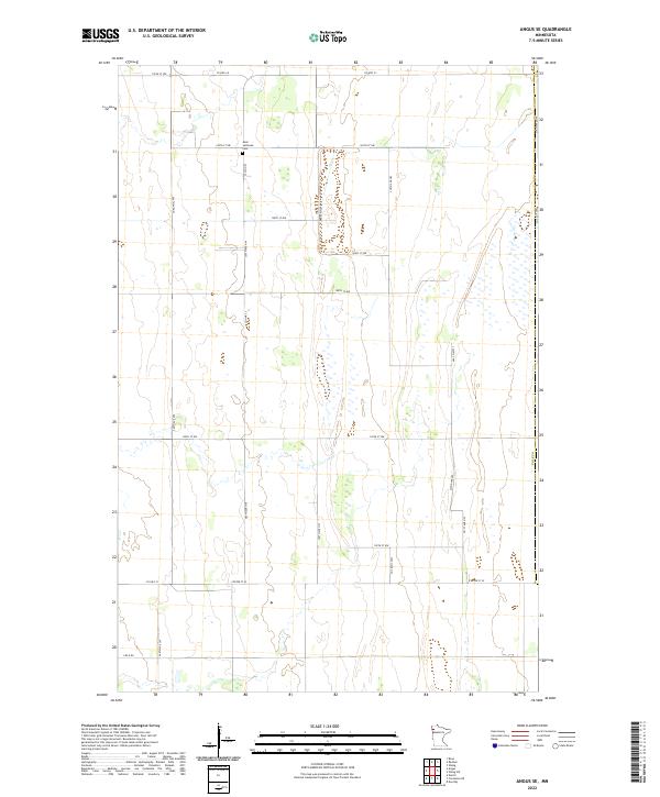
2022 Map of Angus SE
USGS Topo · Published 2022About this map
Melo Lutheran Cem stands as a quiet landmark in this corner of Polk County, situated near the intersection of Co Hwy 23 and 160th St NW. The landscape is defined by the strict geometry of the Public Land Survey System, with gravel roads like 240th Ave NW and 210th Ave NW tracing section lines across a terrain primarily dedicated to large-scale agriculture. This modern survey illustrates the enduring township structure, including t154n r46w and t153n r46w, where the drainage patterns of the Red River Valley dictate the placement of field access roads such as Field Rd. The sparse density of named features reflects the character of this rural agricultural region, where local movement is centered on established county routes like Co Hwy 69 and Co Hwy 21.
Find a feature on this map
26 named features on this map. Tap any name to fly to it.
Don’t see what you’re looking for? This feature index may not catch every label — zoom into the map to look around manually.
Map Details
Editions of this 2022 Angus SE Map
This is the sole edition of this map. No revisions or reprints were ever made.
Other maps of this area

1918 · Angus
USGS Topo · 1:62,500

1918 · Red Lake Falls
USGS Topo · 1:62,500

1918 · Viking
USGS Topo · 1:62,500

1952 · Red Lake Falls
USGS Topo · 1:62,500

1952 · Grand Forks
USGS Topo · 1:250,000

1952 · Thief River Falls
USGS Topo · 1:250,000

1953 · Crookston
USGS Topo · 1:62,500

1956 · Thief River Falls
USGS Topo · 1:250,000

1956 · Grand Forks
USGS Topo · 1:250,000

1957 · Thief River Falls
USGS Topo · 1:250,000