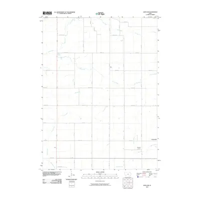
2010 Map of Anita SW
USGS Topo · Published 2010About this map
Agricultural patterns in Cass County define this 2010 survey, where a rigid grid of rural roads connects several small centers. Cumberland sits on the eastern edge of the quadrangle, while the smaller locales of Cass Centre and Galion serve as reference points within the township structure. The landscape is primarily shaped by a network of drainage systems, most notably Sevenmile Creek and Fourmile Creek, which wind through the productive farm fields. These waterways, along with tributaries like Lone Tree Branch and Bear Branch, dictate the subtle contours of the terrain. Local history and genealogy are anchored at Greenwood Cemetery, located near Hoyts Branch in the southeastern quadrant. The survey illustrates the enduring nature of the Midwestern section-line road system, with thoroughfares such as Lansing Rd and Jasper Rd providing the primary transit routes between family farmsteads.
Find a feature on this map
33 named features on this map. Tap any name to fly to it.
Don’t see what you’re looking for? This feature index may not catch every label — zoom into the map to look around manually.
Map Details
Editions of this 2010 Anita SW Map
This is the sole edition of this map. No revisions or reprints were ever made.
Other maps of this area

1954 · Omaha
USGS Topo · 1:250,000

1957 · Omaha
USGS Topo · 1:250,000

1958 · Omaha
USGS Topo · 1:250,000

1971 · Anita
USGS Topo · 1:24,000

1971 · Wiota
USGS Topo · 1:24,000

1971 · Atlantic
USGS Topo · 1:24,000

1971 · Anita SW
USGS Topo · 1:24,000

1971 · Lewis
USGS Topo · 1:24,000

1971 · Massena
USGS Topo · 1:24,000

1978 · Griswold NE
USGS Topo · 1:24,000