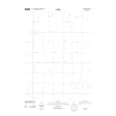
2013 Map of Anita SW
USGS Topo · Published 2013About this map
Cass Centre and Galion stand as central points within this southwestern Cass County landscape, where a sophisticated grid of rural roads connects scattered farmsteads across the undulating prairie. The drainage pattern is defined by several significant watercourses, including the westward-flowing Turkey Cr and the winding reaches of Lone Tree Br. Toward the southern edge of the quadrangle, Fourmile Cr and Sevenmile Cr traverse the terrain, creating a series of valleys that break the agricultural regularity of the section lines. This 2013 survey illustrates a late-modern era of Iowa farming, where named roads like Memphis Rd and Pella Rd follow the original township and range surveys, while smaller tributaries such as Hoyts Br and Bear Br continue to shape the local topography and land use.
Find a feature on this map
30 named features on this map. Tap any name to fly to it.
Don’t see what you’re looking for? This feature index may not catch every label — zoom into the map to look around manually.
Map Details
Editions of this 2013 Anita SW Map
This is the sole edition of this map. No revisions or reprints were ever made.
Other maps of this area

1954 · Omaha
USGS Topo · 1:250,000

1957 · Omaha
USGS Topo · 1:250,000

1958 · Omaha
USGS Topo · 1:250,000

1971 · Anita
USGS Topo · 1:24,000

1971 · Wiota
USGS Topo · 1:24,000

1971 · Atlantic
USGS Topo · 1:24,000

1971 · Anita SW
USGS Topo · 1:24,000

1971 · Lewis
USGS Topo · 1:24,000

1971 · Massena
USGS Topo · 1:24,000

1978 · Griswold NE
USGS Topo · 1:24,000