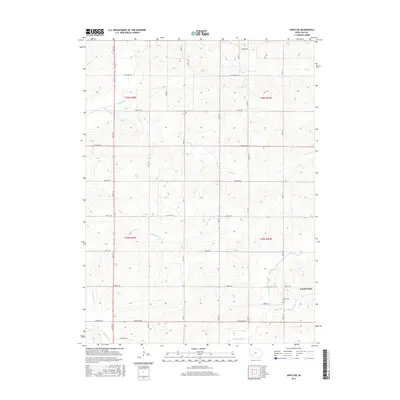
2015 Map of Anita SW
USGS Topo · Published 2015About this map
Cumberland anchors the southeast corner of this survey, representing a concentrated pocket of Iowa prairie settlement amid a sprawling grid of rural section lines. The landscape is defined by the headwaters and branches of the Nishnabotna River system, where Jim Br, Turkey Cr, and Lone Tree Br carve subtle drainages across the northern townships. In the southern half, the topography is shaped by the parallel courses of Fourmile Cr and Sevenmile Cr, which flow southwest toward the county line.
Find a feature on this map
36 named features on this map. Tap any name to fly to it.
Don’t see what you’re looking for? This feature index may not catch every label — zoom into the map to look around manually.
Map Details
Editions of this 2015 Anita SW Map
This is the sole edition of this map. No revisions or reprints were ever made.
Other maps of this area

1954 · Omaha
USGS Topo · 1:250,000

1957 · Omaha
USGS Topo · 1:250,000

1958 · Omaha
USGS Topo · 1:250,000

1971 · Anita
USGS Topo · 1:24,000

1971 · Wiota
USGS Topo · 1:24,000

1971 · Atlantic
USGS Topo · 1:24,000

1971 · Anita SW
USGS Topo · 1:24,000

1971 · Lewis
USGS Topo · 1:24,000

1971 · Massena
USGS Topo · 1:24,000

1978 · Griswold NE
USGS Topo · 1:24,000