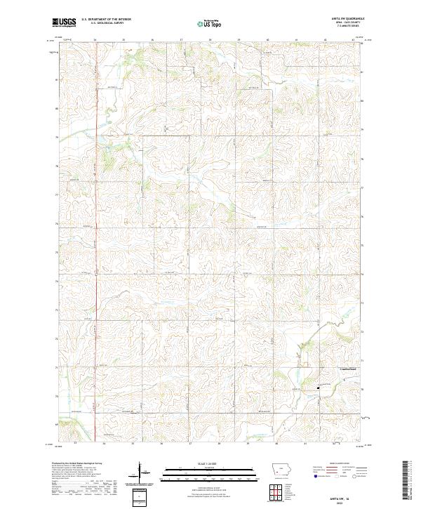
2022 Map of Anita SW
USGS Topo · Published 2022About this map
Cumberland sits at the eastern edge of this Cass County landscape, serving as a primary point of settlement amidst a dense network of creek branches and agricultural section lines. The terrain is defined by the branching waters of Sevenmile Cr and Fourmile Cr, which carve a detailed topography through the southwestern Iowa countryside. Historically significant sites for genealogists include Greenwood Cem, located just west of the town center near Quebec Rd. A precise grid of rural thoroughfares, such as Richland Rd, Pella Rd, and Newport Rd, connects the scattered farmsteads across the townships. The map documents a landscape where small tributaries like Lone Tree Br and Turkey Cr dictate the local drainage patterns and the placement of country roads.
Find a feature on this map
26 named features on this map. Tap any name to fly to it.
Don’t see what you’re looking for? This feature index may not catch every label — zoom into the map to look around manually.
Map Details
Editions of this 2022 Anita SW Map
This is the sole edition of this map. No revisions or reprints were ever made.
Other maps of this area

1954 · Omaha
USGS Topo · 1:250,000

1957 · Omaha
USGS Topo · 1:250,000

1958 · Omaha
USGS Topo · 1:250,000

1971 · Anita
USGS Topo · 1:24,000

1971 · Wiota
USGS Topo · 1:24,000

1971 · Atlantic
USGS Topo · 1:24,000

1971 · Anita SW
USGS Topo · 1:24,000

1971 · Lewis
USGS Topo · 1:24,000

1971 · Massena
USGS Topo · 1:24,000

1978 · Griswold NE
USGS Topo · 1:24,000