
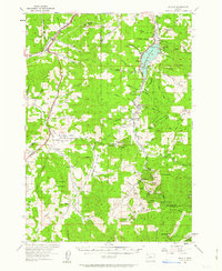
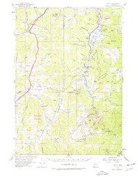
1954 Map of Anlauf
USGS Topo · Published 1956About this map
The Southern Pacific railroad corridor anchors the western edge of this mid-century landscape, connecting the settlements of Comstock, Curtin, and Anlauf as it follows the path of Pass Creek. The map reveals a transition from the developing valley floor to the high timberlands of the Calapooya Divide, where the Lane and Douglas county lines meet amidst numerous peaks like Cinnabar Mountain and Harness Mountain.
Find a feature on this map
82 named features on this map. Tap any name to fly to it.
Don’t see what you’re looking for? This feature index may not catch every label — zoom into the map to look around manually.
Map Details
Editions of this 1954 Anlauf Map
3 editions found
Other maps of this area

1897 · Roseburg
USGS Topo · 1:125,000

1900 · Roseburg
USGS Topo · 1:125,000

1921 · Cottage Grove
USGS Topo · 1:62,500

1935 · Lowell
USGS Topo · 1:96,000

1942 · Lowell
USGS Topo · 1:125,000

1942 · Crow
USGS Topo · 1:62,500

1945 · Crow
USGS Topo · 1:62,500

1954 · Sutherlin
USGS Topo · 1:62,500

1954 · Drain
USGS Topo · 1:62,500

1954 · Glide
USGS Topo · 1:62,500