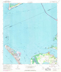
1964 Map of Anna Maria
USGS Topo · Published 1970About this map
Anna Maria and Holmes Beach occupy the northern end of the barrier island where the Gulf of Mexico meets the mouth of the Tampa Bay. This 1960s survey documents a coastal landscape transitioning with new developments, while still preserving deep historical markers such as the Portavant Indian Mound and the De Soto National Memorial at De Soto Point. To the north, the Sunshine Skyway Toll Bridge spans the channel toward Mullet Key, where Fort De Soto sits within Fort De Soto Park. On the mainland, the community of Palma Sola is centered around its local airfield, Palma Sola Airport, and the Palma Sola Ch. The intricate network of waterways, including Sarasota Pass and Bimini Bay, illustrates the navigational complexity of the Intra-Coastal Waterway before the high-density expansion of the later 20th century.
Find a feature on this map
45 named features on this map. Tap any name to fly to it.
Don’t see what you’re looking for? This feature index may not catch every label — zoom into the map to look around manually.
Map Details
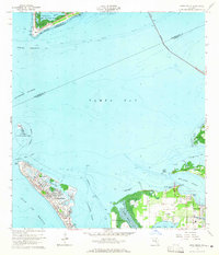
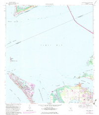
Editions of this 1964 Anna Maria Map
3 editions found
Other maps of this area

1921 · Fort De Soto
USGS Topo · 1:62,500

1942 · Cockroach Bay
USGS Topo · 1:31,680

1943 · Pass-A-Grille
USGS Topo · 1:31,680

1944 · Egmont Key
USGS Topo · 1:31,680

1944 · Anna Maria
USGS Topo · 1:31,680

1944 · Ellenton
USGS Topo · 1:31,680

1944 · Bradenton Beach
USGS Topo · 1:31,680

1945 · Cockroach Bay
USGS Topo · 1:31,680
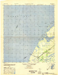
1947 · Cockroach Bay
USGS Topo · 1:25,000

1947 · Bradenton
USGS Topo · 1:24,000