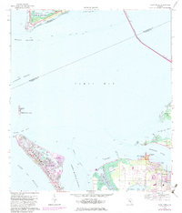
1964 Map of Anna Maria
USGS Topo · Published 1982About this map
Anna Maria Island stands as a barrier between the Gulf of Mexico and the intricate waters of Anna Maria Sound in this mid-century survey of the Florida coast. This map illustrates the transition from the mid-1960s into the early 1980s, documenting the residential expansion in the settlements of Anna Maria and Palma Sola. The landscape is a mosaic of tidal flats and bayous, where the Manatee River meets Tampa Bay. Cultural history is prominently marked at the De Soto National Memorial and the Portavant Indian Mound on Snead Island, reflecting the long human presence at the river's mouth. The northern reach of the map is dominated by the strategic geography of Mullet Key, part of Fort De Soto Park, and the massive span of the Sunshine Skyway Toll Bridge crossing into Pinellas County.
Find a feature on this map
40 named features on this map. Tap any name to fly to it.
Don’t see what you’re looking for? This feature index may not catch every label — zoom into the map to look around manually.
Map Details
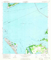
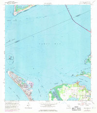
Editions of this 1964 Anna Maria Map
3 editions found
Other maps of this area

1921 · Fort De Soto
USGS Topo · 1:62,500

1942 · Cockroach Bay
USGS Topo · 1:31,680

1943 · Pass-A-Grille
USGS Topo · 1:31,680

1944 · Egmont Key
USGS Topo · 1:31,680

1944 · Anna Maria
USGS Topo · 1:31,680

1944 · Ellenton
USGS Topo · 1:31,680

1944 · Bradenton Beach
USGS Topo · 1:31,680

1945 · Cockroach Bay
USGS Topo · 1:31,680
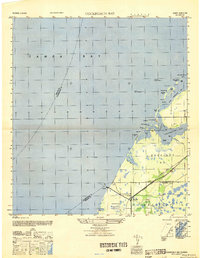
1947 · Cockroach Bay
USGS Topo · 1:25,000

1947 · Bradenton
USGS Topo · 1:24,000