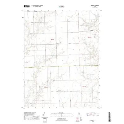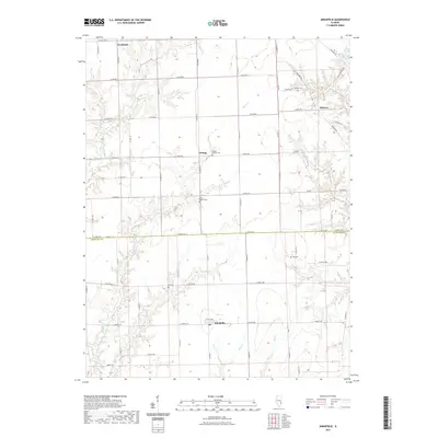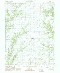
1985 Map of Annapolis
USGS Topo · Published 1985About this map
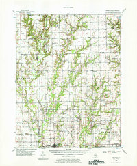
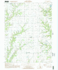
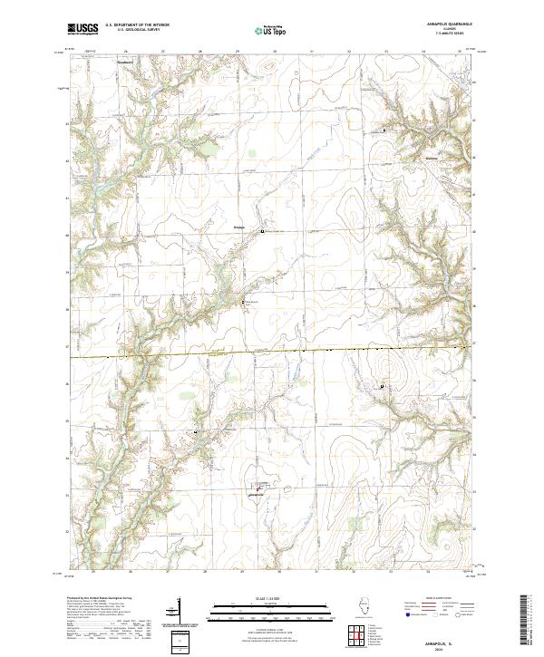
Annapolis sits at the heart of this agricultural landscape in southeastern Illinois, where the flatlands of Prairie and Licking townships meet a dense network of watercourses. The local economy is defined by a mix of farming and resource extraction, with an active Oil Field situated north of the town center near Melrose. This industrial activity is contrasted by the winding paths of North Fork Raccoon Creek and South Fork Raccoon Creek as they drain the eastern portion of the quadrangle. Smaller rural settlements like Orange serve as anchor points along the section lines, while several Cem sites provide vital data for genealogists tracking early families in Clark and Crawford Counties. The terrain is further etched by numerous tributaries including Maple Creek, Big Creek, and Little Willow Creek, reflecting a typical midwestern drainage pattern.
Find a feature on this map
17 named features on this map. Tap any name to fly to it.
Don’t see what you’re looking for? This feature index may not catch every label — zoom into the map to look around manually.
Map Details
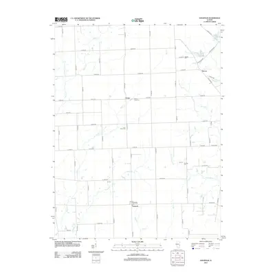
Editions of this 1985 Annapolis Map
This is the sole edition of this map. No revisions or reprints were ever made.
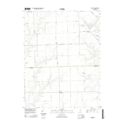
Historical Maps of Melrose Through Time
8 maps found