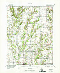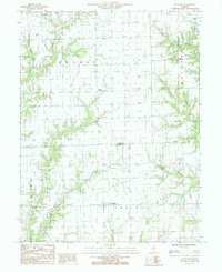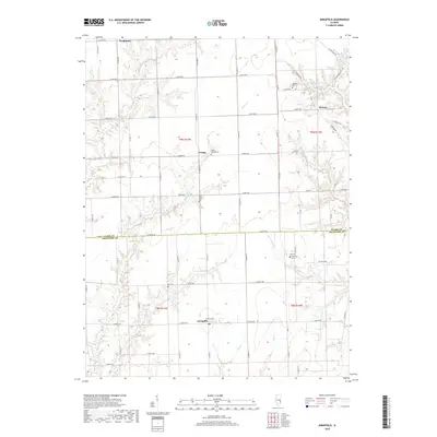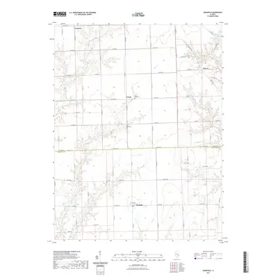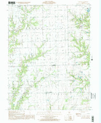
1998 Map of Annapolis
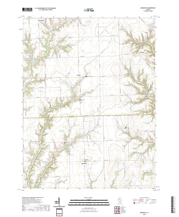
USGS Topo · Published 2002About this map
Annapolis serves as a central hub in this corner of rural Illinois, where the agricultural landscape of Prairie township meets the industrial presence of an Oil Field to the north. The area is defined by its intricate drainage systems, particularly the convergence of the North Fork Raccoon Creek and South Fork Raccoon Creek, which carve through the terrain alongside Big Creek and Elm Creek. Small settlements like Orange, Melrose, and the aptly named Needmore dot the map, connected by a network of local roads that follow the section lines of the Public Land Survey System.
Find a feature on this map
19 named features on this map. Tap any name to fly to it.
Don’t see what you’re looking for? This feature index may not catch every label — zoom into the map to look around manually.
Map Details
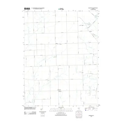
Editions of this 1998 Annapolis Map
This is the sole edition of this map. No revisions or reprints were ever made.
Historical Maps of Melrose Through Time
8 maps found