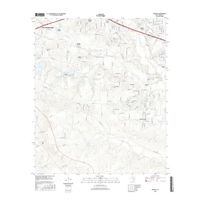
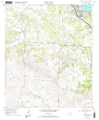
2016 Map of Annetta
USGS Topo · Published 2016About this map
The Clear Fork Trinity River flows through a landscape defined by the suburban expansion and rural heritage of eastern Parker County. Recent decades have transformed the corridor between Weatherford and Aledo, where distinct communities like Annetta, Annetta North, and Annetta South create a complex network of residential enclaves. This 2016 survey documents the modern layout of the area, featuring the Parker County Airport and the El Chico Water Tank, while preserving the names of traditional landmarks like the Devils Backbone and Joe Bell Mtn. The terrain is characterized by numerous small drainages such as Burgess Cr and Bear Cr, punctuated by several unnamed reservoirs and falls including Cason Falls and Rock Falls. For those studying family history, several small burial grounds are marked across the townships, including Dixon Cem, Willow Springs Cem, and O'Neal Cem.
Find a feature on this map
71 named features on this map. Tap any name to fly to it.
Don’t see what you’re looking for? This feature index may not catch every label — zoom into the map to look around manually.
Map Details
Editions of this 2016 Annetta Map
This is the sole edition of this map. No revisions or reprints were ever made.
Other maps of this area
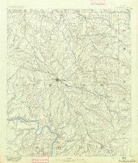
1891 · Weatherford
USGS Topo · 1:125,000
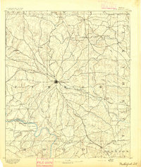
1893 · Weatherford
USGS Topo · 1:125,000
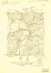
1924 · Weatherford 3-d
USGS Topo · 1:48,000
1931 · Dennis
USGS Topo · 1:62,500
1932 · Springtown
USGS Topo · 1:62,500

1954 · Dallas
USGS Topo · 1:250,000
1955 · Aledo
USGS Topo · 1:24,000
1955 · Cresson
USGS Topo · 1:24,000
1955 · Springtown SE
USGS Topo · 1:24,000

1958 · Dallas
USGS Topo · 1:250,000