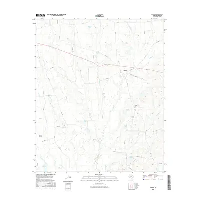
2016 Map of Annona
USGS Topo · Published 2016About this map
Annona serves as the central hub of this Northeast Texas landscape, situated along a network of country roads including Old English Rd and Main St. The surrounding terrain is defined by a dense web of waterways, most notably the meandering White Oak Creek and its many tributaries like Kickapoo Creek, Heeltap Branch, and Burkhand Branch. This intricate drainage pattern has shaped the land into a series of basins now containing local landmarks such as Bentsen Lake, Sand Lake, and Crystal Lake.
Find a feature on this map
58 named features on this map. Tap any name to fly to it.
Don’t see what you’re looking for? This feature index may not catch every label — zoom into the map to look around manually.
Map Details
Editions of this 2016 Annona Map
This is the sole edition of this map. No revisions or reprints were ever made.
Other maps of this area

1950 · White Rock
USGS Topo · 1:24,000

1950 · Annona
USGS Topo · 1:24,000

1951 · English
USGS Topo · 1:24,000

1951 · Annona
USGS Topo · 1:24,000

1951 · White Rock
USGS Topo · 1:24,000

1951 · Avery
USGS Topo · 1:24,000

1953 · Texarkana
USGS Topo · 1:250,000

1956 · Texarkana
USGS Topo · 1:250,000

1964 · Cuthand
USGS Topo · 1:24,000
1964 · Dimple
USGS Topo · 1:24,000