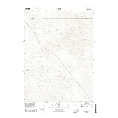
2014 Map of Anselmo NW
USGS Topo · Published 2014About this map
Grand View Cem sits in the southeastern corner of this Sandhills landscape, marking a quiet point of historical interest along Cemetery Rd. The terrain is defined by the complex topography of Custer County, where the north-south boundary with Blaine County is etched across the northern edge of the sheet. Most of the natural drainage is defined by the winding path of Rifle Cr and its associated valley in the northwest. The primary transit artery, Ne 2, cuts a long diagonal through the center of the quadrangle, connecting the remote ranching lands. Sparse local roads like Rifle Creek Rd and Hoosier Valley Rd trace the paths between sections, illustrating the expansive, low-density settlement pattern of central Nebraska in the early 21st century.
Find a feature on this map
8 named features on this map. Tap any name to fly to it.
Don’t see what you’re looking for? This feature index may not catch every label — zoom into the map to look around manually.
Map Details
Editions of this 2014 Anselmo NW Map
This is the sole edition of this map. No revisions or reprints were ever made.
Other maps of this area

1948 · Linscott
USGS Topo · 1:62,500

1950 · Linscott
USGS Topo · 1:62,500

1951 · Dunning
USGS Topo · 1:62,500

1951 · Anselmo
USGS Topo · 1:24,000

1951 · Anselmo SW
USGS Topo · 1:24,000

1951 · Anselmo NE
USGS Topo · 1:24,000

1951 · Anselmo NW
USGS Topo · 1:24,000

1952 · Brewster SE
USGS Topo · 1:24,000

1952 · Brewster SW
USGS Topo · 1:24,000

1954 · North Platte
USGS Topo · 1:250,000