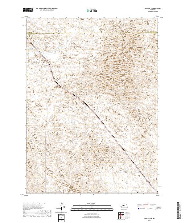
2021 Map of Anselmo NW
USGS Topo · Published 2021About this map
The rolling Sandhills of central Nebraska dominate this landscape along the border of Blaine Co and Custer Co. The terrain is characterized by a dense network of dunes and depressions, typical of this region's geomorphology, with Rifle Cr providing the primary drainage in the northwest corner. This area remains sparsely settled, defined by a rectilinear grid of section lines and gravel roads that navigate the complex topography.
Find a feature on this map
17 named features on this map. Tap any name to fly to it.
Don’t see what you’re looking for? This feature index may not catch every label — zoom into the map to look around manually.
Map Details
Editions of this 2021 Anselmo NW Map
This is the sole edition of this map. No revisions or reprints were ever made.
Other maps of this area

1948 · Linscott
USGS Topo · 1:62,500

1950 · Linscott
USGS Topo · 1:62,500

1951 · Dunning
USGS Topo · 1:62,500

1951 · Anselmo
USGS Topo · 1:24,000

1951 · Anselmo SW
USGS Topo · 1:24,000

1951 · Anselmo NE
USGS Topo · 1:24,000

1951 · Anselmo NW
USGS Topo · 1:24,000

1952 · Brewster SE
USGS Topo · 1:24,000

1952 · Brewster SW
USGS Topo · 1:24,000

1954 · North Platte
USGS Topo · 1:250,000