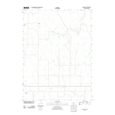
2011 Map of Ansley NE
USGS Topo · Published 2011About this map
Swanson Cemetery rests on a high point above Spring Creek, overlooking a landscape defined by the drainage patterns of Custer County. This area of central Nebraska is characterized by the broad depressions of Dry Valley and Moody Valley, which dictate the alignment of the local road network. The map reveals a strictly rural grid where numbered routes like No 1053 and No 194 navigate the terrain between various creek branches. The southern portion of the quadrangle is anchored by the winding course of Clear Creek, which provides a focal point for the natural drainage and topographical variation in this part of the Nebraska plains.
Find a feature on this map
13 named features on this map. Tap any name to fly to it.
Don’t see what you’re looking for? This feature index may not catch every label — zoom into the map to look around manually.
Map Details
Editions of this 2011 Ansley NE Map
This is the sole edition of this map. No revisions or reprints were ever made.
Other maps of this area

1951 · Westerville
USGS Topo · 1:24,000

1951 · Ansley
USGS Topo · 1:24,000

1951 · Ansley NE
USGS Topo · 1:24,000

1951 · Arcadia West
USGS Topo · 1:24,000

1951 · Ansley SE
USGS Topo · 1:24,000

1951 · Arcadia SW
USGS Topo · 1:24,000

1952 · Sargent SE
USGS Topo · 1:24,000

1952 · Comstock
USGS Topo · 1:24,000

1952 · Sargent SW
USGS Topo · 1:24,000

1955 · Broken Bow
USGS Topo · 1:250,000