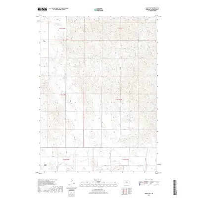
2017 Map of Ansley NE
USGS Topo · Published 2017About this map
Swanson Cem sits on a high ridge overlooking the transition between the drainage of Spring Cr to the north and the wider plains to the south. This portion of the Nebraska Sandhills periphery in Custer County is defined by a dense network of coulees and ridges, where the landscape is carved by seasonal watercourses like those in Dry Valley and Moody Valley. Settlement in this era follows the lowlands, where a grid of rural roads such as RD 455 and DR 797 provides access to isolated farmsteads. The topographic record shows how the land is partitioned into township blocks like t17n r17w, reflecting the long-term impacts of the Public Land Survey System on the Nebraska prairie. Clear Cr cuts across the southern portion of the map, marking one of the primary perennial water sources in an otherwise arid and dissected terrain.
Find a feature on this map
23 named features on this map. Tap any name to fly to it.
Don’t see what you’re looking for? This feature index may not catch every label — zoom into the map to look around manually.
Map Details
Editions of this 2017 Ansley NE Map
This is the sole edition of this map. No revisions or reprints were ever made.
Other maps of this area

1951 · Westerville
USGS Topo · 1:24,000

1951 · Ansley
USGS Topo · 1:24,000

1951 · Ansley NE
USGS Topo · 1:24,000

1951 · Arcadia West
USGS Topo · 1:24,000

1951 · Ansley SE
USGS Topo · 1:24,000

1951 · Arcadia SW
USGS Topo · 1:24,000

1952 · Sargent SE
USGS Topo · 1:24,000

1952 · Comstock
USGS Topo · 1:24,000

1952 · Sargent SW
USGS Topo · 1:24,000

1955 · Broken Bow
USGS Topo · 1:250,000