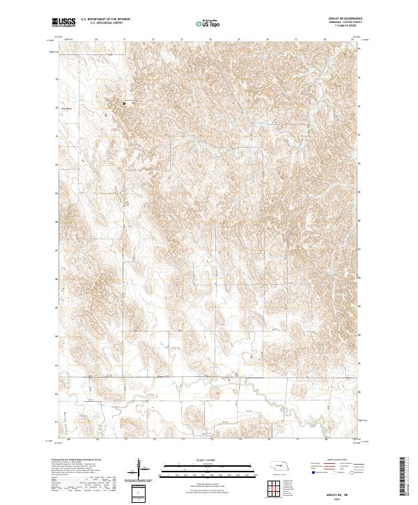
2021 Map of Ansley NE
USGS Topo · Published 2021About this map
Swanson Cem sits in the northern reaches of this Custer County landscape, providing a specific point of interest for genealogists tracing early families in the region. The terrain is characterized by notable depressions and drainages, most notably Dry Valley in the northwest and Moody Valley along the southern border. Waterways like Spring Cr and Clear Cr cut through the hills, illustrating the natural drainage patterns that have historically influenced land use and settlement in this part of Nebraska. A network of rural roads, including RD 455 and RD 797, connects the various sections of the township grid, reflecting the enduring agricultural framework of the central plains into the modern era.
Find a feature on this map
23 named features on this map. Tap any name to fly to it.
Don’t see what you’re looking for? This feature index may not catch every label — zoom into the map to look around manually.
Map Details
Editions of this 2021 Ansley NE Map
This is the sole edition of this map. No revisions or reprints were ever made.
Other maps of this area

1951 · Westerville
USGS Topo · 1:24,000

1951 · Ansley
USGS Topo · 1:24,000

1951 · Ansley NE
USGS Topo · 1:24,000

1951 · Arcadia West
USGS Topo · 1:24,000

1951 · Ansley SE
USGS Topo · 1:24,000

1951 · Arcadia SW
USGS Topo · 1:24,000

1952 · Sargent SE
USGS Topo · 1:24,000

1952 · Comstock
USGS Topo · 1:24,000

1952 · Sargent SW
USGS Topo · 1:24,000

1955 · Broken Bow
USGS Topo · 1:250,000