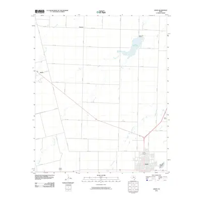
2010 Map of Anson
USGS Topo · Published 2010About this map
Anson serves as the central hub of this West Texas landscape, showing a grid of residential and commercial development at the southeastern corner of the quadrangle. The surrounding countryside is defined by an extensive network of farm-to-market and county roads that navigate a series of winding waterways, including Skinout Creek, Thompson Creek, and Redmud Creek. Smaller outlying settlements like Plainview and Radium represent the rural community structure of Jones County in the early 21st century.
Find a feature on this map
41 named features on this map. Tap any name to fly to it.
Don’t see what you’re looking for? This feature index may not catch every label — zoom into the map to look around manually.
Map Details
Editions of this 2010 Anson Map
This is the sole edition of this map. No revisions or reprints were ever made.
Other maps of this area

1891 · Anson
USGS Topo · 1:125,000

1893 · Roby
USGS Topo · 1:125,000

1893 · Anson
USGS Topo · 1:125,000

1954 · Big Spring
USGS Topo · 1:250,000

1954 · Abilene
USGS Topo · 1:250,000

1957 · Hawley
USGS Topo · 1:62,500

1957 · Noodle
USGS Topo · 1:62,500

1958 · Big Spring
USGS Topo · 1:250,000

1958 · Abilene
USGS Topo · 1:250,000

1965 · Tuxedo
USGS Topo · 1:24,000