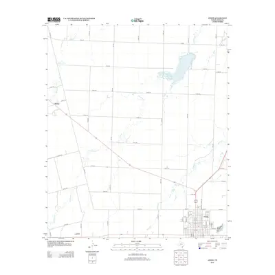
2012 Map of Anson
USGS Topo · Published 2012About this map
Anson serves as the primary urban center for this portion of Jones County, characterized by a structured grid of numbered streets and lettered avenues. To the northwest, the smaller settlement of Radium is situated near the upper reaches of Skinout Cr, while Anson N Lake provides a significant water feature north of the city. The surrounding landscape is defined by a network of drainage systems, including the meandering paths of Thompson Cr and Redmud Cr, which flow through the expansive rural territory divided by an extensive system of county roads.
Find a feature on this map
60 named features on this map. Tap any name to fly to it.
Don’t see what you’re looking for? This feature index may not catch every label — zoom into the map to look around manually.
Map Details
Editions of this 2012 Anson Map
This is the sole edition of this map. No revisions or reprints were ever made.
Other maps of this area

1891 · Anson
USGS Topo · 1:125,000

1893 · Roby
USGS Topo · 1:125,000

1893 · Anson
USGS Topo · 1:125,000

1954 · Big Spring
USGS Topo · 1:250,000

1954 · Abilene
USGS Topo · 1:250,000

1957 · Hawley
USGS Topo · 1:62,500

1957 · Noodle
USGS Topo · 1:62,500

1958 · Big Spring
USGS Topo · 1:250,000

1958 · Abilene
USGS Topo · 1:250,000

1965 · Tuxedo
USGS Topo · 1:24,000