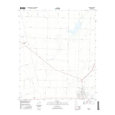
2016 Map of Anson
USGS Topo · Published 2016About this map
Anson serves as the primary urban center for this portion of Jones County, shown here with its organized street grid and essential services like the Po. To the northwest, the smaller settlement of Radium marks another point of historical interest along the regional road network. The landscape is defined by its intermittent drainage systems, including Redmud Cr, Thompson Cr, and Skinout Cr, which converge to shape the local geography. Human history is anchored by sites like Anderson Chapel Cem, providing a focal point for genealogical research in this rural Texas environment. The presence of Anson N Lake north of the town suggests the management of water resources in a region where creeks like Carter Cr often define property and topographic boundaries.
Find a feature on this map
74 named features on this map. Tap any name to fly to it.
Don’t see what you’re looking for? This feature index may not catch every label — zoom into the map to look around manually.
Map Details
Editions of this 2016 Anson Map
This is the sole edition of this map. No revisions or reprints were ever made.
Other maps of this area

1891 · Anson
USGS Topo · 1:125,000

1893 · Roby
USGS Topo · 1:125,000

1893 · Anson
USGS Topo · 1:125,000

1954 · Big Spring
USGS Topo · 1:250,000

1954 · Abilene
USGS Topo · 1:250,000

1957 · Hawley
USGS Topo · 1:62,500

1957 · Noodle
USGS Topo · 1:62,500

1958 · Big Spring
USGS Topo · 1:250,000

1958 · Abilene
USGS Topo · 1:250,000

1965 · Tuxedo
USGS Topo · 1:24,000