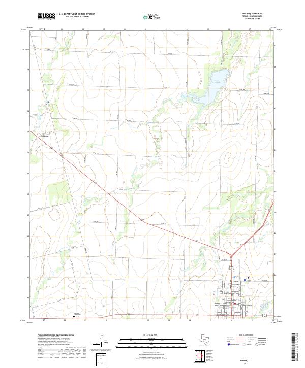
2022 Map of Anson
USGS Topo · Published 2022About this map
Anson serves as the focal point of this Jones County landscape, anchored by the Jones County Courthouse at its center. The town's grid extends toward the reservoir at Anson North Lake, while the surrounding countryside is defined by a dense network of farm-to-market roads and county routes, such as FM 1661 and FM 1636 W. These roads connect smaller locales like Radium in the northwest to the county seat, tracing the pathways of 21st-century rural commerce and transit.
Find a feature on this map
72 named features on this map. Tap any name to fly to it.
Don’t see what you’re looking for? This feature index may not catch every label — zoom into the map to look around manually.
Map Details
Editions of this 2022 Anson Map
This is the sole edition of this map. No revisions or reprints were ever made.
Other maps of this area

1891 · Anson
USGS Topo · 1:125,000

1893 · Roby
USGS Topo · 1:125,000

1893 · Anson
USGS Topo · 1:125,000

1954 · Big Spring
USGS Topo · 1:250,000

1954 · Abilene
USGS Topo · 1:250,000

1957 · Hawley
USGS Topo · 1:62,500

1957 · Noodle
USGS Topo · 1:62,500

1958 · Big Spring
USGS Topo · 1:250,000

1958 · Abilene
USGS Topo · 1:250,000

1965 · Tuxedo
USGS Topo · 1:24,000