Loading...
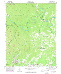
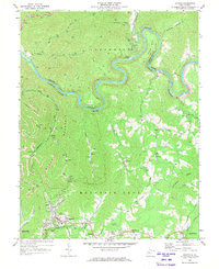
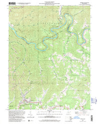
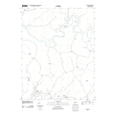
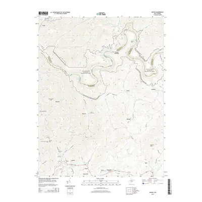
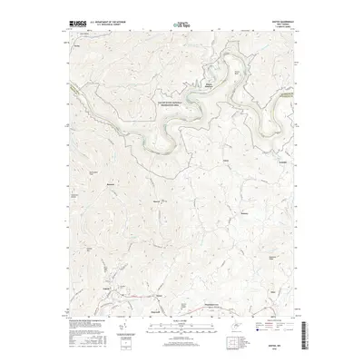
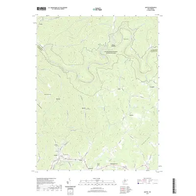
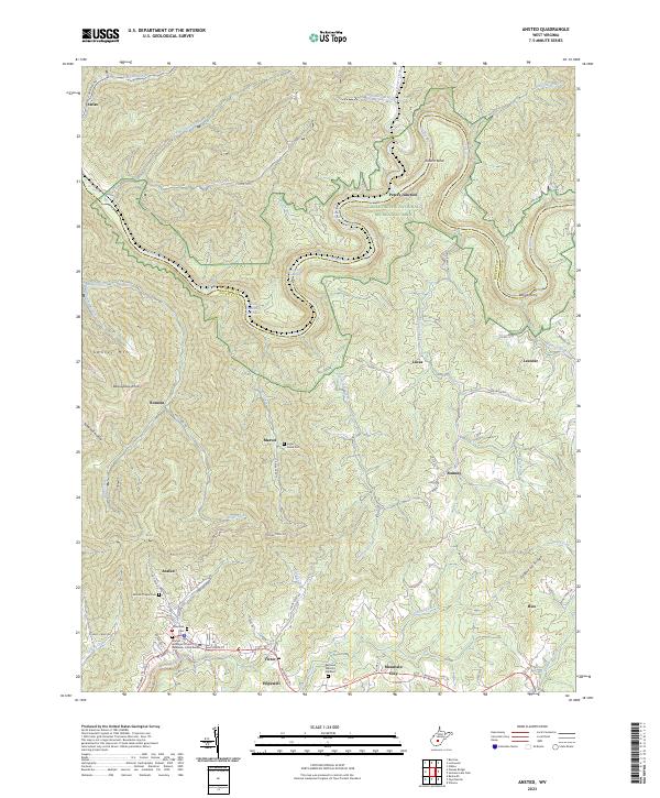
Loading map...1969 Map of Ansted
USGS Topo · Published 1978About this map
Gauley River carves a dramatic, winding path through this region of the West Virginia coalfields, defining the boundaries between Jefferson and New Haven districts. The landscape is marked by the industrial footprints of the era, from numerous Strip Mine operations to the heavy rail presence of the Conrail and Chesapeake And Ohio lines. The settlement of Ansted sits in the southern portion of the sheet, serving as a focal point near the recreation grounds of Hawks Nest State Park.
Find a feature on this map
63 named features on this map. Tap any name to fly to it.
Don’t see what you’re looking for? This feature index may not catch every label — zoom into the map to look around manually.
Map Details
Date Portrayed1969
Date Published1978
PublisherU.S. Geological Survey
Map TypeTopographic
Scale1:24,000
Physical Dimensions22 x 26.8 inches
Editions of this 1969 Ansted Map
2 editions found
Historical Maps of Ansted Through Time
7 maps found
Featured Locations
Source Details
SourceU.S. Geological Survey
CopyrightPublic Domain