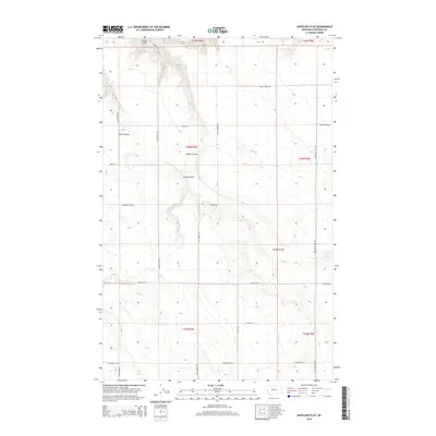
2014 Map of Antelope Flat
USGS Topo · Published 2014About this map
Antelope Flat and the surrounding high plains of Chouteau County are defined by a network of drainage coulees and agricultural road systems. This 2014 survey reveals a landscape of dry-land farming and ranching, where seasonal water features like Alkali Coulee and Wolf Coulee carve through the terrain. The presence of Antelope Lake on the eastern edge of the flat provides a focal point for the local geography, while the expansive Leepers Flat dominates the central portion of the quadrangle.
Find a feature on this map
27 named features on this map. Tap any name to fly to it.
Don’t see what you’re looking for? This feature index may not catch every label — zoom into the map to look around manually.
Map Details
Editions of this 2014 Antelope Flat Map
This is the sole edition of this map. No revisions or reprints were ever made.
Other maps of this area

1886 · Great Falls
USGS Topo · 1:250,000

1948 · Portage
USGS Topo · 1:62,500

1949 · Portage
USGS Topo · 1:62,500

1949 · Timber Coulee
USGS Topo · 1:62,500

1949 · Great Falls
USGS Topo · 1:62,500

1950 · Timber Coulee
USGS Topo · 1:62,500

1950 · Dent Bridge
USGS Topo · 1:62,500

1951 · Great Falls
USGS Topo · 1:62,500

1954 · Great Falls
USGS Topo · 1:250,000

1957 · Great Falls
USGS Topo · 1:250,000