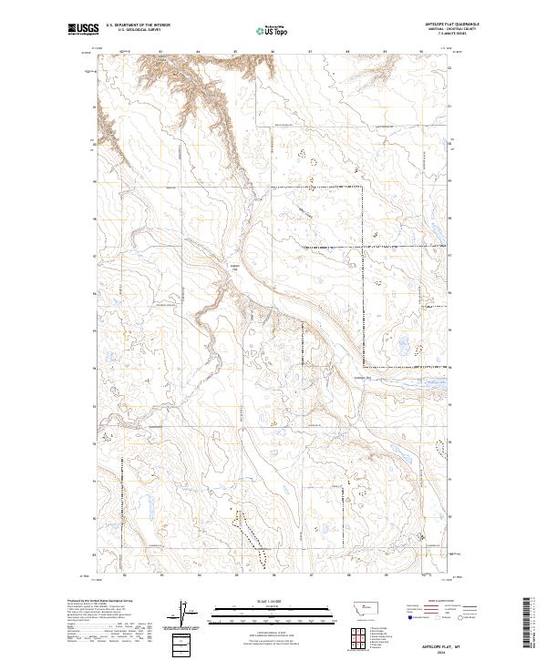
2024 Map of Antelope Flat
USGS Topo · Published 2024About this map
Leeper Flat and the namesake Antelope Flat define this landscape in the heart of Chouteau County, where the plains are etched by deep drainage coulees. The terrain is characterized by broad agricultural divides separated by the winding paths of Alkali Coulee and Wolf Coulee. In the eastern section, Antelope Lake serves as a significant hydrologic feature in a territory dominated by expansive dryland ranching and farming.
Find a feature on this map
25 named features on this map. Tap any name to fly to it.
Don’t see what you’re looking for? This feature index may not catch every label — zoom into the map to look around manually.
Map Details
Editions of this 2024 Antelope Flat Map
This is the sole edition of this map. No revisions or reprints were ever made.
Other maps of this area

1886 · Great Falls
USGS Topo · 1:250,000

1948 · Portage
USGS Topo · 1:62,500

1949 · Portage
USGS Topo · 1:62,500

1949 · Timber Coulee
USGS Topo · 1:62,500

1949 · Great Falls
USGS Topo · 1:62,500

1950 · Timber Coulee
USGS Topo · 1:62,500

1950 · Dent Bridge
USGS Topo · 1:62,500

1951 · Great Falls
USGS Topo · 1:62,500

1954 · Great Falls
USGS Topo · 1:250,000

1957 · Great Falls
USGS Topo · 1:250,000