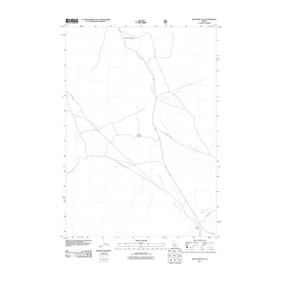
2011 Map of Antelope Flat
USGS Topo · Published 2011About this map
Antelope Flat defines this Custer County landscape, where high-country drainage patterns shape the local topography. The area is characterized by a series of significant watercourses, most notably Warm Spring Creek and Gooseberry Creek, which carve through the terrain. To the north, the dramatic relief of Grand View Canyon suggests the geologic forces at work in this part of Idaho, while Dry Gulch and Broken Wagon Creek mark the arid character of the surrounding basins.
Find a feature on this map
13 named features on this map. Tap any name to fly to it.
Don’t see what you’re looking for? This feature index may not catch every label — zoom into the map to look around manually.
Map Details
Editions of this 2011 Antelope Flat Map
This is the sole edition of this map. No revisions or reprints were ever made.
Other maps of this area

1929 · Bayhorse
USGS Topo · 1:125,000

1935 · Borah Peak
USGS Topo · 1:125,000

1938 · Borah Peak
USGS Topo · 1:125,000

1955 · Dubois
USGS Topo · 1:250,000

1956 · Doublespring
USGS Topo · 1:62,500

1957 · Challis
USGS Topo · 1:250,000

1958 · Dubois
USGS Topo · 1:250,000

1960 · Challis
USGS Topo · 1:250,000

1963 · Challis
USGS Topo · 1:250,000
1963 · Little Antelope Flat
USGS Topo · 1:24,000