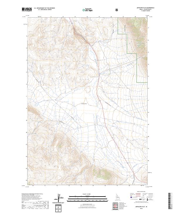
2024 Map of Antelope Flat
USGS Topo · Published 2024About this map
Antelope Flat serves as a central high-altitude plain within this Custer County landscape, where modern infrastructure follows ancient natural corridors. The survey captures a high-desert environment defined by a drainage network including Worm Spring Creek and Broken Wagon Creek, which cut through the complex topography south of the Grand View Canyon. To the northeast, the terrain rises sharply into the Lost River Range, where a portion of the Challis National Forest protects the higher elevations. The placement of Spar Canyon Rd and S Lone Pine Rd suggests a reliance on traditional passage routes that navigate the varying relief between the flat and the surrounding peaks. Researchers will find a preserved view of grazing and conservation lands before they reach the more developed river valleys of central Idaho.
Find a feature on this map
22 named features on this map. Tap any name to fly to it.
Don’t see what you’re looking for? This feature index may not catch every label — zoom into the map to look around manually.
Map Details
Editions of this 2024 Antelope Flat Map
This is the sole edition of this map. No revisions or reprints were ever made.
Other maps of this area

1929 · Bayhorse
USGS Topo · 1:125,000

1935 · Borah Peak
USGS Topo · 1:125,000

1938 · Borah Peak
USGS Topo · 1:125,000

1955 · Dubois
USGS Topo · 1:250,000

1956 · Doublespring
USGS Topo · 1:62,500

1957 · Challis
USGS Topo · 1:250,000

1958 · Dubois
USGS Topo · 1:250,000

1960 · Challis
USGS Topo · 1:250,000

1963 · Challis
USGS Topo · 1:250,000
1963 · Little Antelope Flat
USGS Topo · 1:24,000