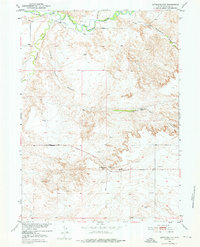
1951 Map of Antelope Gap
USGS Topo · Published 1976About this map
Antelope Gap defines this high-plains landscape where early 1950s ranching infrastructure met the winding course of the Laramie River. The terrain is deeply incised by Eagles Nest Canyon and drained by watercourses such as Chugwater Creek and Little Cottonwood Draw. This era was one of transition for rural Wyoming education, evidenced by the presence of Antelope School (Aband), which stood near the junction of Antelope Gap Road and Slater Road. Numerous windmills scattered across the sections highlight the importance of groundwater for livestock in this arid environment. The map provides a precise record of water sources like Eagles Nest Spring and the complex system of local draws that dictated the placement of early travel routes through the gap.
Find a feature on this map
11 named features on this map. Tap any name to fly to it.
Don’t see what you’re looking for? This feature index may not catch every label — zoom into the map to look around manually.
Map Details
Editions of this 1951 Antelope Gap Map
3 editions found
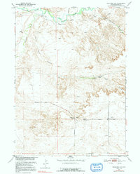
Other maps of this area

1896 · Hartville
USGS Topo · 1:125,000

1901 · Hartville
USGS Topo · 1:125,000

1950 · Register Cliff
USGS Topo · 1:24,000

1951 · Dwyer
USGS Topo · 1:24,000

1951 · Antelope Gap
USGS Topo · 1:24,000
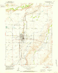
1951 · Wheatland
USGS Topo · 1:24,000
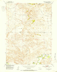
1951 · Wheatland NE
USGS Topo · 1:24,000

1951 · Eagles Nest
USGS Topo · 1:24,000

1952 · Register Cliff
USGS Topo · 1:24,000

1953 · Ferguson Corner
USGS Topo · 1:24,000