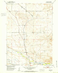
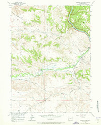
1951 Map of Dwyer
USGS Topo · Published 1952About this map
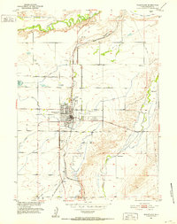
The Colorado and Southern (Burlington Route) defines the north-south axis of this Wyoming landscape, connecting the small rail settlements of Dwyer and Uva. This 1951 survey captures a rural ranching and transport corridor where the Laramie River and North Laramie River converge. The presence of numerous Windmills across the high plains and a complex irrigation network, including the North Laramie Canal and Reservoir No 3, highlights the essential role of water management in Platte County agriculture during the early fifties.
Find a feature on this map
17 named features on this map. Tap any name to fly to it.
Don’t see what you’re looking for? This feature index may not catch every label — zoom into the map to look around manually.
Map Details
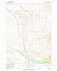
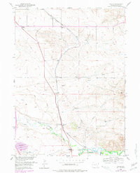
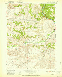
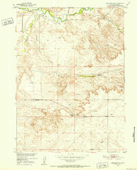
Editions of this 1951 Dwyer Map
3 editions found
Other maps of this area

1896 · Hartville
USGS Topo · 1:125,000

1901 · Hartville
USGS Topo · 1:125,000
1950 · Coleman Butte
USGS Topo · 1:24,000
1950 · Herman Ranch
USGS Topo · 1:24,000
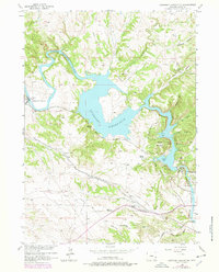
1950 · Guernsey Reservoir
USGS Topo · 1:24,000

1951 · Coleman Butte
USGS Topo · 1:24,000

1951 · Guernsey Reservoir
USGS Topo · 1:24,000
1951 · Herman Ranch
USGS Topo · 1:24,000
1951 · Antelope Gap
USGS Topo · 1:24,000
1951 · Wheatland
USGS Topo · 1:24,000