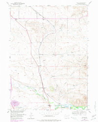
1951 Map of Dwyer
USGS Topo · Published 1978About this map
Colorado and Southern railroad tracks bisect the landscape of Platte County, following a northern trajectory through the small settlements of Uva and Dwyer. The rail corridor serves as the primary artery for this high-plains region, connecting localized ranching and farming operations to larger markets. In the south, the Laramie River and North Laramie River converge near an area marked by a Historical Marker, indicating the early importance of these waterways for travel and irrigation in eastern Wyoming.
Find a feature on this map
17 named features on this map. Tap any name to fly to it.
Don’t see what you’re looking for? This feature index may not catch every label — zoom into the map to look around manually.
Map Details
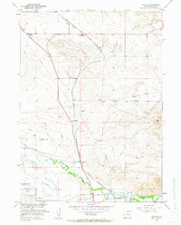
Editions of this 1951 Dwyer Map
3 editions found
Other maps of this area

1896 · Hartville
USGS Topo · 1:125,000

1901 · Hartville
USGS Topo · 1:125,000

1950 · Coleman Butte
USGS Topo · 1:24,000

1950 · Herman Ranch
USGS Topo · 1:24,000

1950 · Guernsey Reservoir
USGS Topo · 1:24,000

1951 · Coleman Butte
USGS Topo · 1:24,000

1951 · Guernsey Reservoir
USGS Topo · 1:24,000
1951 · Herman Ranch
USGS Topo · 1:24,000

1951 · Dwyer
USGS Topo · 1:24,000

1951 · Antelope Gap
USGS Topo · 1:24,000