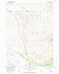
1951 Map of Dwyer
USGS Topo · Published 1963About this map
The confluence of the Laramie River and the North Laramie River anchors this mid-century survey of Platte County, Wyoming. The landscape is defined by its water management and transportation corridors, featuring the North Laramie Canal and systems like Reservoir No 3 and Lowica Reservoir. These irrigation works supported the ranching and agricultural life of the high plains, where numerous Windmills and a Corral are scattered across the terrain.
Find a feature on this map
18 named features on this map. Tap any name to fly to it.
Don’t see what you’re looking for? This feature index may not catch every label — zoom into the map to look around manually.
Map Details
Editions of this 1951 Dwyer Map
3 editions found
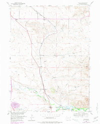
Other maps of this area

1896 · Hartville
USGS Topo · 1:125,000

1901 · Hartville
USGS Topo · 1:125,000

1950 · Coleman Butte
USGS Topo · 1:24,000

1950 · Herman Ranch
USGS Topo · 1:24,000

1950 · Guernsey Reservoir
USGS Topo · 1:24,000

1951 · Coleman Butte
USGS Topo · 1:24,000

1951 · Guernsey Reservoir
USGS Topo · 1:24,000
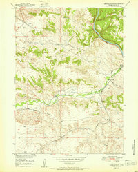
1951 · Herman Ranch
USGS Topo · 1:24,000

1951 · Dwyer
USGS Topo · 1:24,000

1951 · Antelope Gap
USGS Topo · 1:24,000