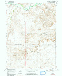
1951 Map of Antelope Gap
USGS Topo · Published 1991About this map
The Laramie River flows across the northern reaches of this Platte County landscape, joined by Chugwater Creek as it winds through the high plains. The terrain is defined by dramatic erosional features like Eagles Nest Canyon and the notable Antelope Gap, which serves as a natural corridor for movement through the area. Traces of early 20th-century rural life are visible in the placement of the Antelope School (Aban'd), reflecting the sparse settlement patterns common in this part of Wyoming during the mid-century era.
Find a feature on this map
13 named features on this map. Tap any name to fly to it.
Don’t see what you’re looking for? This feature index may not catch every label — zoom into the map to look around manually.
Map Details
Editions of this 1951 Antelope Gap Map
3 editions found
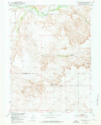
Other maps of this area

1896 · Hartville
USGS Topo · 1:125,000

1901 · Hartville
USGS Topo · 1:125,000

1950 · Register Cliff
USGS Topo · 1:24,000

1951 · Dwyer
USGS Topo · 1:24,000

1951 · Antelope Gap
USGS Topo · 1:24,000
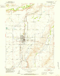
1951 · Wheatland
USGS Topo · 1:24,000
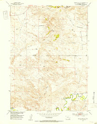
1951 · Wheatland NE
USGS Topo · 1:24,000

1951 · Eagles Nest
USGS Topo · 1:24,000

1952 · Register Cliff
USGS Topo · 1:24,000

1953 · Ferguson Corner
USGS Topo · 1:24,000