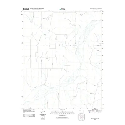
2012 Map of Antelope Hills
USGS Topo · Published 2012About this map
Antelope Hills rises as a prominent landmark in this corner of Ellis County, overlooking the broad, braided course of the Canadian River. This 2012 survey illustrates a landscape primarily defined by energy extraction and agriculture, with the extensive Bishop Gas and Oil Field occupying the central plains. The map reveals the persistence of early rural foundations through the solitary presence of the Lone Tree Cem, situated amid a regular grid of section-line roads such as n1700 RD and e0740 RD. While the river and its southern tributary, Oasis Cr, dictate the natural drainage of the region, the human footprint is marked by the industrial infrastructure of the gas fields and the thin network of local routes like n1720 RD and e0730 RD that connect isolated properties across the Oklahoma high plains.
Find a feature on this map
28 named features on this map. Tap any name to fly to it.
Don’t see what you’re looking for? This feature index may not catch every label — zoom into the map to look around manually.
Map Details
Editions of this 2012 Antelope Hills Map
This is the sole edition of this map. No revisions or reprints were ever made.
Other maps of this area

1954 · Perryton
USGS Topo · 1:250,000

1954 · Amarillo
USGS Topo · 1:250,000

1955 · Clinton
USGS Topo · 1:250,000

1955 · Woodward
USGS Topo · 1:250,000

1957 · Clinton
USGS Topo · 1:250,000

1958 · Perryton
USGS Topo · 1:250,000

1958 · Woodward
USGS Topo · 1:250,000

1958 · Amarillo
USGS Topo · 1:250,000

1965 · Crawford
USGS Topo · 1:24,000

1966 · Antelope Hills NE
USGS Topo · 1:24,000