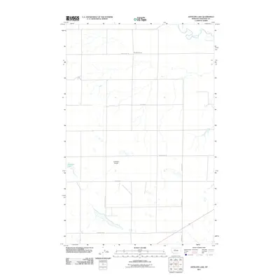
2011 Map of Antelope Lake
USGS Topo · Published 2011About this map
Antelope Lake and the drainage of Antelope Coulee define this section of Chouteau County, where the high plains meet the meandering path of the Teton River in the northeast corner. This 2011 survey reflects a sparse, rural landscape dominated by a strictly organized grid of section lines and gravel routes. A notable point of local interest is The School House, located along Davis School Rd, serving as a solitary landmark in an area otherwise characterized by wide-open ranching or agricultural tracts. The road network, including Floweree Rd and Carter Rd W, provides a look at the modern infrastructure supporting this remote part of Montana, preserving the names of early local families and historical landmarks through its thoroughfare designations.
Find a feature on this map
10 named features on this map. Tap any name to fly to it.
Don’t see what you’re looking for? This feature index may not catch every label — zoom into the map to look around manually.
Map Details
Editions of this 2011 Antelope Lake Map
This is the sole edition of this map. No revisions or reprints were ever made.
Other maps of this area

1886 · Great Falls
USGS Topo · 1:250,000

1890 · Fort Benton
USGS Topo · 1:250,000

1892 · Fort Benton
USGS Topo · 1:250,000

1897 · Fort Benton
USGS Topo · 1:250,000

1948 · Portage
USGS Topo · 1:62,500

1949 · Portage
USGS Topo · 1:62,500

1950 · Dent Bridge
USGS Topo · 1:62,500

1953 · Carter
USGS Topo · 1:24,000

1954 · Great Falls
USGS Topo · 1:250,000

1954 · Lander Crossing
USGS Topo · 1:24,000