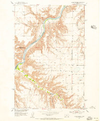
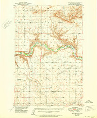
1954 Map of Lander Crossing
USGS Topo · Published 1956About this map
Missouri River currents dominate this mid-century survey of the rugged breaks between Chouteau and Cascade counties. The landscape is defined by deeply eroded drainage patterns where numerous coulees, such as Black Coulee and Middle Coulee to the north and Huntley Coulee further south, carve through the high plains to meet the river valley. The namesake Lander Crossing sits along the southern reaches of the map, situated where Highwood Creek winds through the bottomlands before joining the larger river system. This map illustrates the intersection of water and terrain during the development of the Missouri River Basin project, capturing a sparsely populated area where cattle ranching and early infrastructure are marked by features like Windmill 3353 and a localized Gravel Pit. The precise topographical work from 1952 aerial photography reveals the complex elevation changes across Tueverson Coulee and the surrounding benchlands.
Find a feature on this map
17 named features on this map. Tap any name to fly to it.
Don’t see what you’re looking for? This feature index may not catch every label — zoom into the map to look around manually.
Map Details
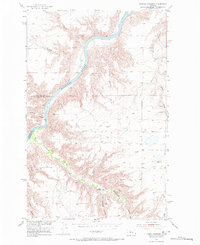
Editions of this 1954 Lander Crossing Map
2 editions found
Other maps of this area

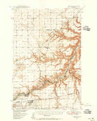
1886 · Great Falls
USGS Topo · 1:250,000

1890 · Fort Benton
USGS Topo · 1:250,000

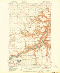
1892 · Fort Benton
USGS Topo · 1:250,000

1897 · Fort Benton
USGS Topo · 1:250,000
1948 · Portage
USGS Topo · 1:62,500
1949 · Portage
USGS Topo · 1:62,500
1950 · Dent Bridge
USGS Topo · 1:62,500
1953 · Carter
USGS Topo · 1:24,000
1953 · Tunis
USGS Topo · 1:24,000

1954 · Great Falls
USGS Topo · 1:250,000