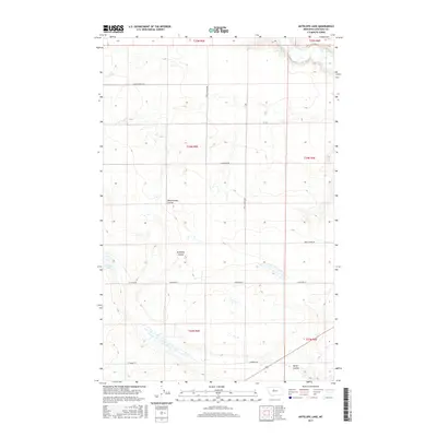
2017 Map of Antelope Lake
USGS Topo · Published 2017About this map
Teton River flows across the northern edge of this Chouteau County landscape, defining the local drainage patterns where Weatherwax Coulee and Antelope Coulee carve through the high plains. The terrain is a network of seasonal water bodies and depressions, most notably Antelope Lake in the western section. This environment reflects the expansive agricultural and ranching layout of the region, where roads often follow the rigid section lines of the Public Land Survey System.
Find a feature on this map
18 named features on this map. Tap any name to fly to it.
Don’t see what you’re looking for? This feature index may not catch every label — zoom into the map to look around manually.
Map Details
Editions of this 2017 Antelope Lake Map
This is the sole edition of this map. No revisions or reprints were ever made.
Other maps of this area

1886 · Great Falls
USGS Topo · 1:250,000

1890 · Fort Benton
USGS Topo · 1:250,000

1892 · Fort Benton
USGS Topo · 1:250,000

1897 · Fort Benton
USGS Topo · 1:250,000

1948 · Portage
USGS Topo · 1:62,500

1949 · Portage
USGS Topo · 1:62,500

1950 · Dent Bridge
USGS Topo · 1:62,500

1953 · Carter
USGS Topo · 1:24,000

1954 · Great Falls
USGS Topo · 1:250,000

1954 · Lander Crossing
USGS Topo · 1:24,000