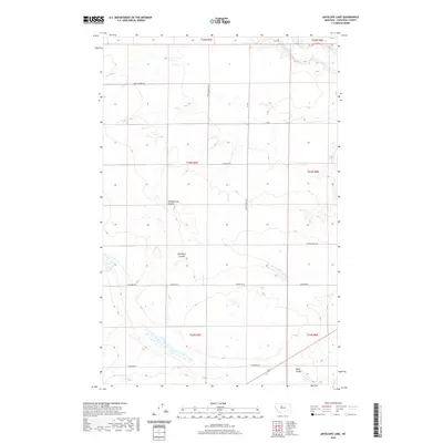
2020 Map of Antelope Lake
USGS Topo · Published 2020About this map
Antelope Lake and the winding course of the Teton River anchor this 2020 landscape in Chouteau County, Montana. The topography is defined by significant drainage features, most notably Weatherwax Coulee, Antelope Coulee, and Black Coulee, which cut through the high plains. This map illustrates the intersection of rural infrastructure and natural hydrology, where section-line roads like Davis School Rd and Floweree Rd navigate the undulating terrain. The layout of these routes, including Charlson Dr and W Carter Rd, reflects a persistent agricultural and ranching grid that has governed this region for generations. Small clusters of wetlands are scattered throughout the lower elevations, particularly near the river and coulee floors, indicating the importance of water management in this semi-arid environment.
Find a feature on this map
18 named features on this map. Tap any name to fly to it.
Don’t see what you’re looking for? This feature index may not catch every label — zoom into the map to look around manually.
Map Details
Editions of this 2020 Antelope Lake Map
This is the sole edition of this map. No revisions or reprints were ever made.
Other maps of this area

1886 · Great Falls
USGS Topo · 1:250,000

1890 · Fort Benton
USGS Topo · 1:250,000

1892 · Fort Benton
USGS Topo · 1:250,000

1897 · Fort Benton
USGS Topo · 1:250,000

1948 · Portage
USGS Topo · 1:62,500

1949 · Portage
USGS Topo · 1:62,500

1950 · Dent Bridge
USGS Topo · 1:62,500

1953 · Carter
USGS Topo · 1:24,000

1954 · Great Falls
USGS Topo · 1:250,000

1954 · Lander Crossing
USGS Topo · 1:24,000