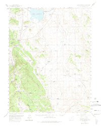
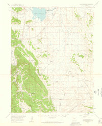
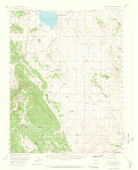
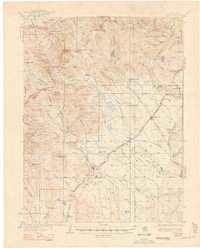
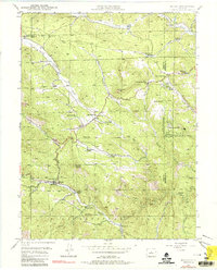
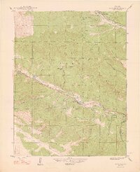
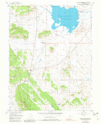
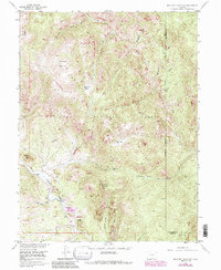
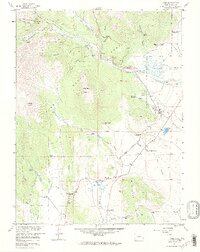
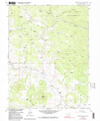
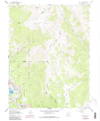
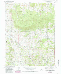
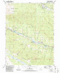
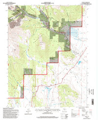
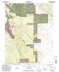
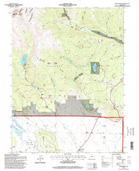
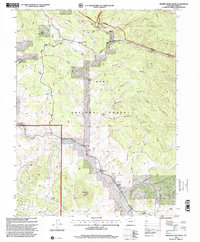
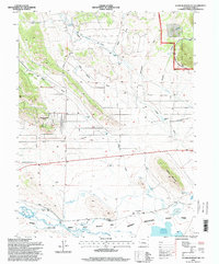
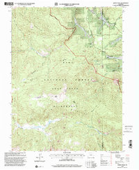
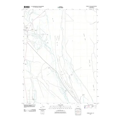
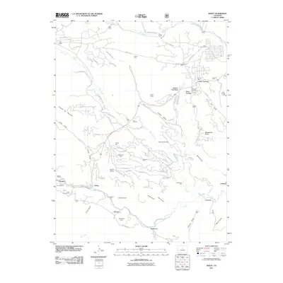
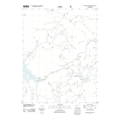
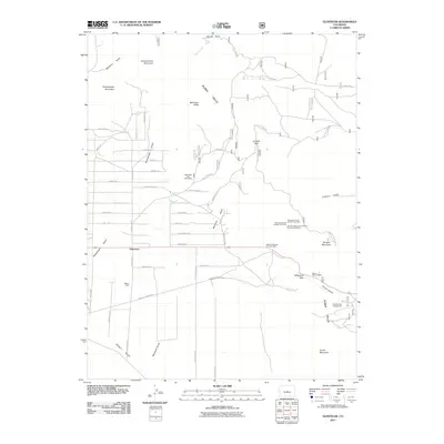
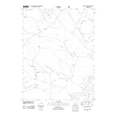
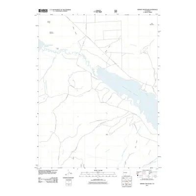
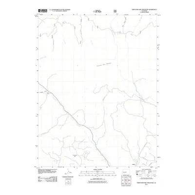
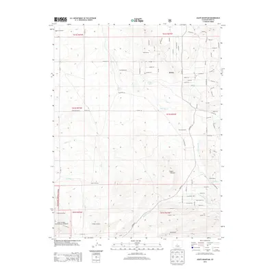
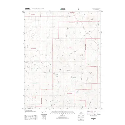
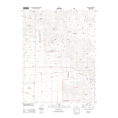
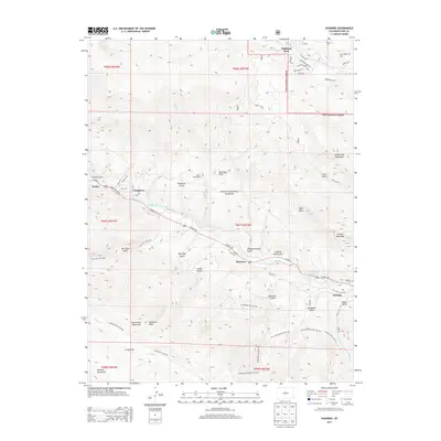
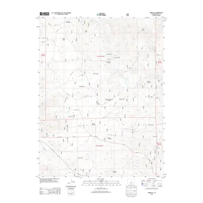
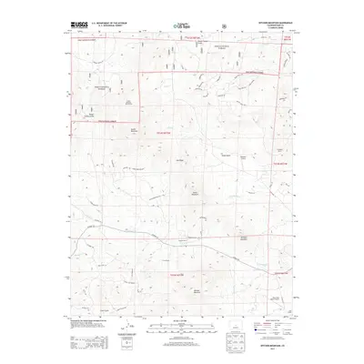
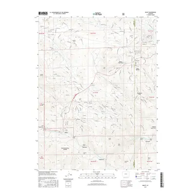
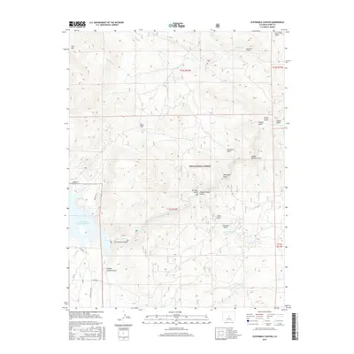
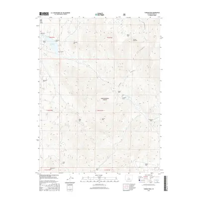
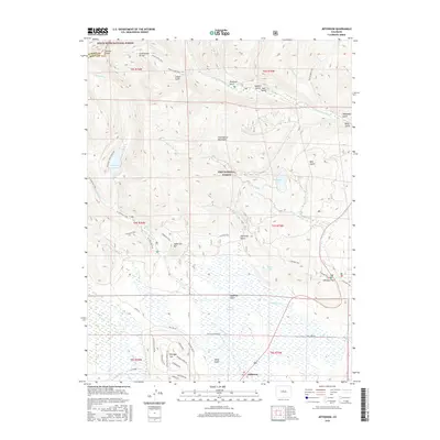
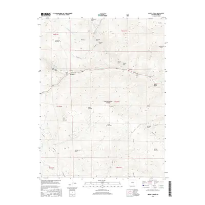
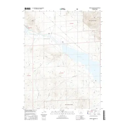
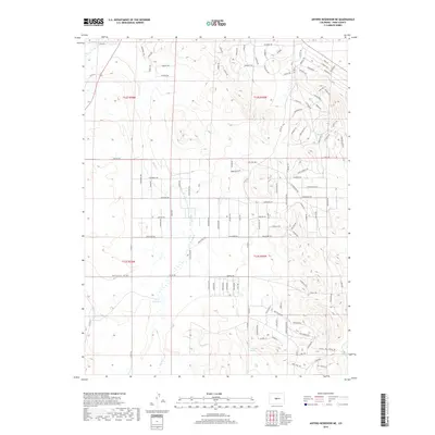
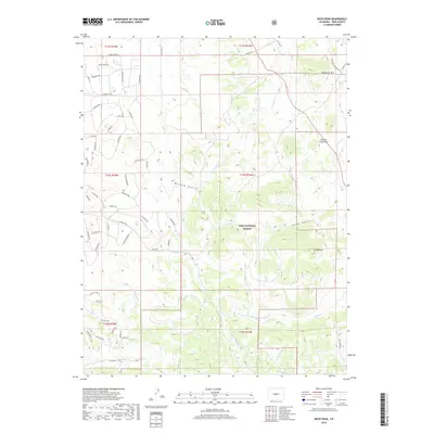
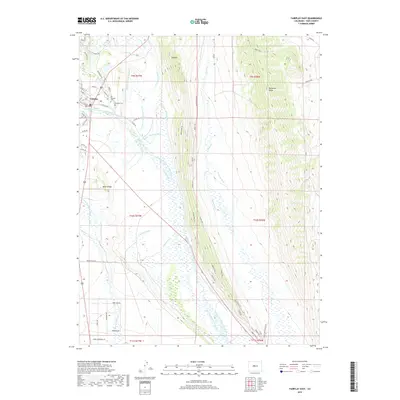
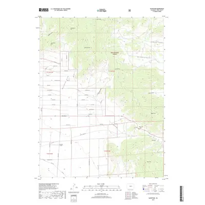
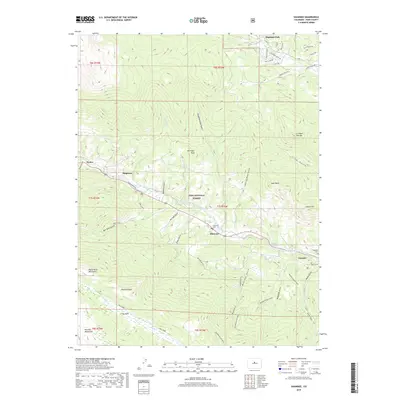
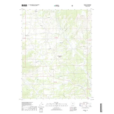
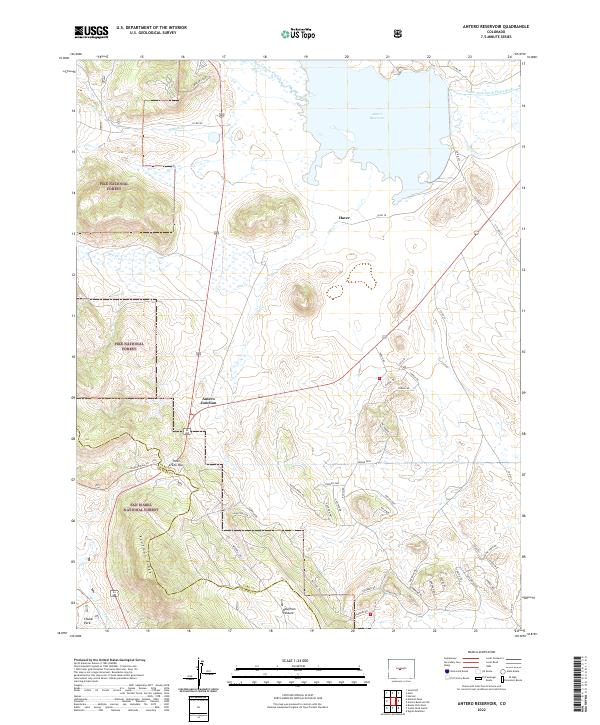
1959 Map of Antero Reservoir
USGS Topo · Published 1974About this map
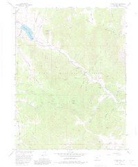
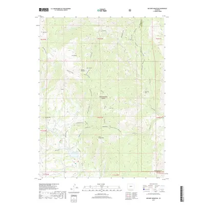
Antero Reservoir dominates the high-altitude basin of the South Fork South Platte River, serving as a focal point for water management in the late 1950s. The surrounding landscape is a mix of ranching operations and early twentieth-century homesteading, with family names such as Adleman Homestead, Jacobs Homestead, and Parrot Homestead dotting the drainages of Agate Creek and Wagon Tongue Creek. Along the western edge, Kaufman Ridge provides a sharp topographical boundary between the Pike National Forest and the lower basin lands.
Find a feature on this map
55 named features on this map. Tap any name to fly to it.
Don’t see what you’re looking for? This feature index may not catch every label — zoom into the map to look around manually.
Map Details
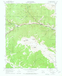
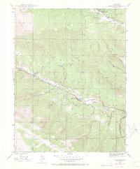
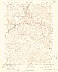
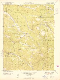
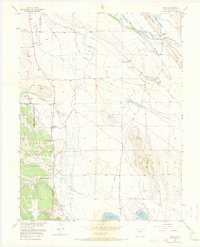
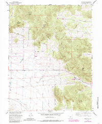
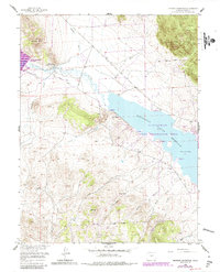
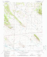
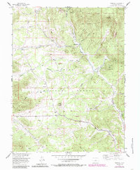
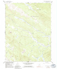
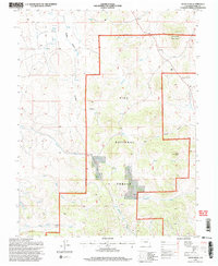
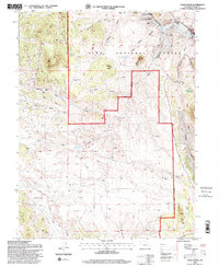
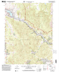
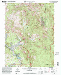
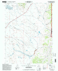
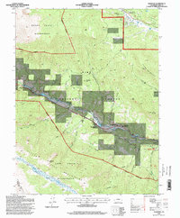
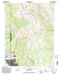
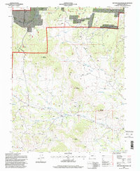
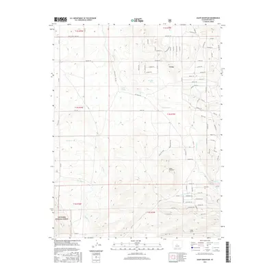
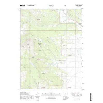
Editions of this 1959 Antero Reservoir Map
3 editions found
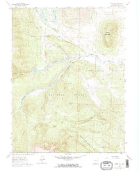
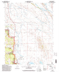
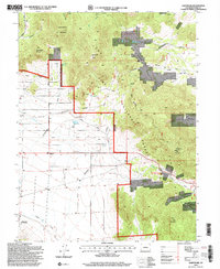
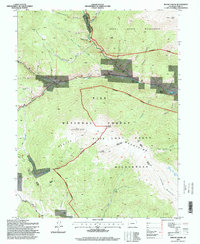
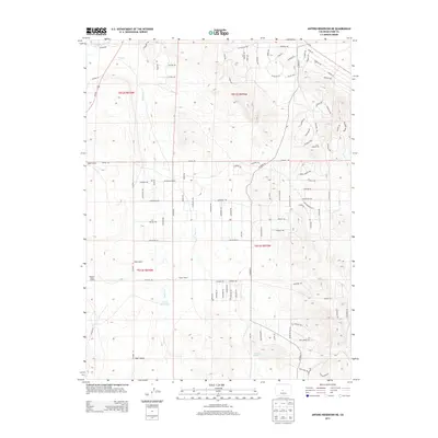
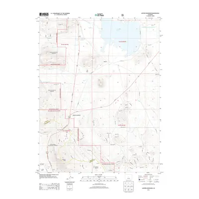
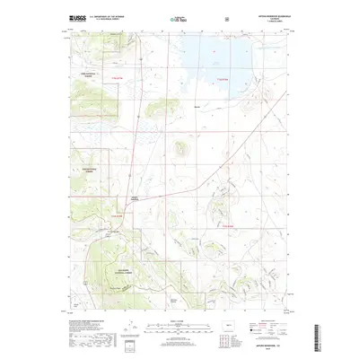
Historical Maps of Antero Junction Through Time
217 maps found
1937 Como
Park County, CO
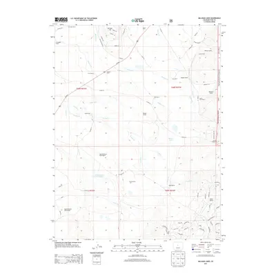
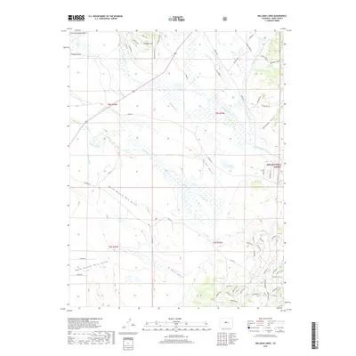
1945 Bailey
Park County, CO
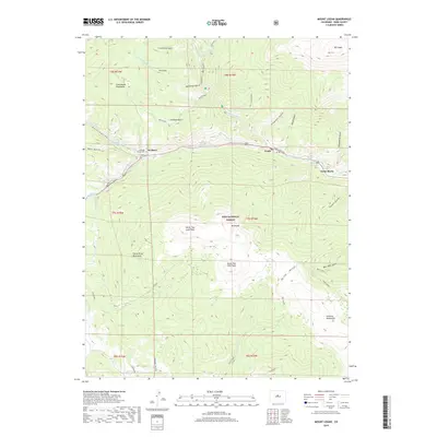
1945 Mount Logan
Park County, CO
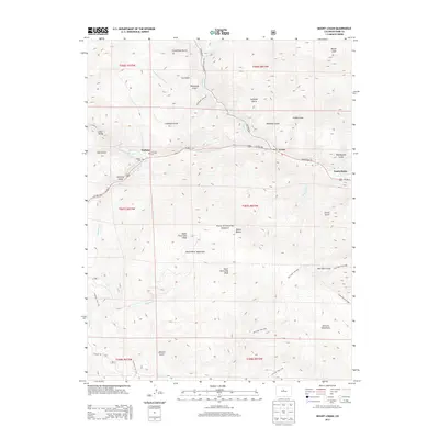
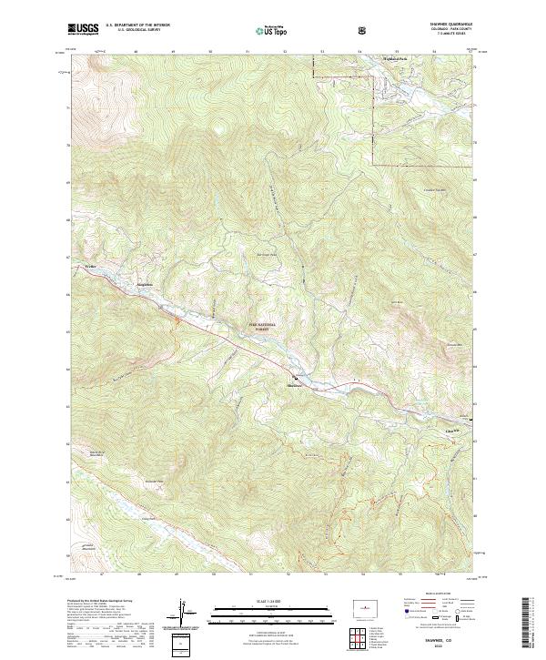
1945 Shawnee
Park County, CO
1948 Mount Logan
Park County, CO
1948 Shawnee
Park County, CO
1949 Bailey
Park County, CO
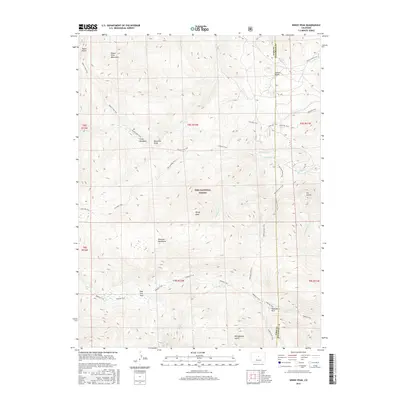
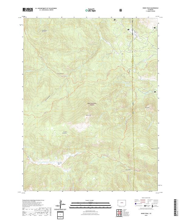
1954 Windy Peak
Park County, CO
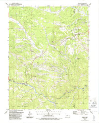
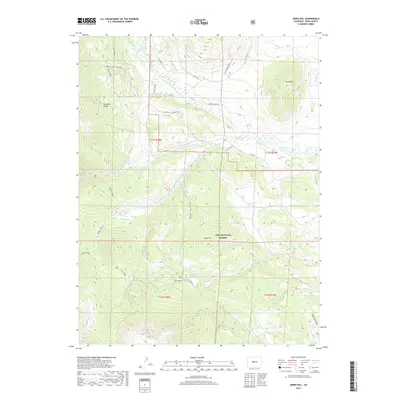
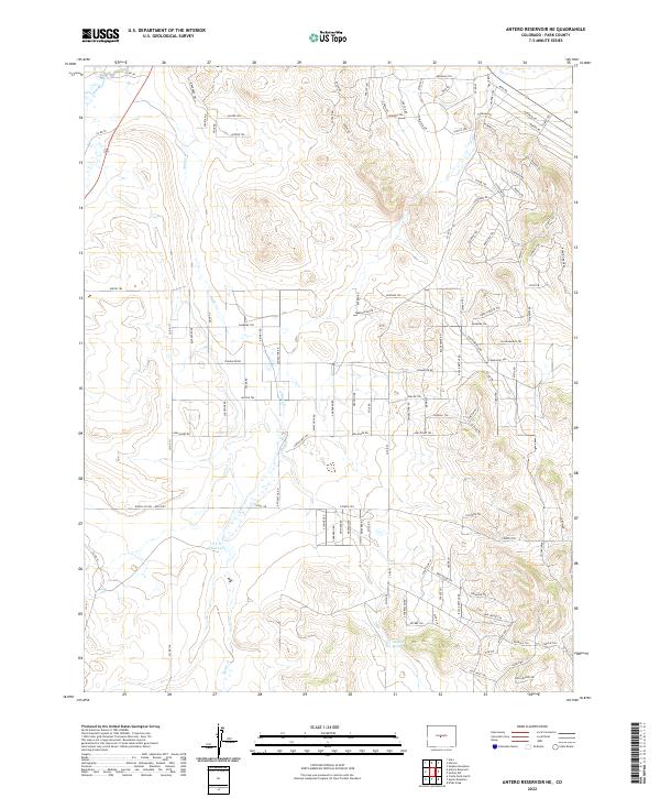
1956 Antero Reservoir NE
Park County, CO
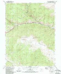
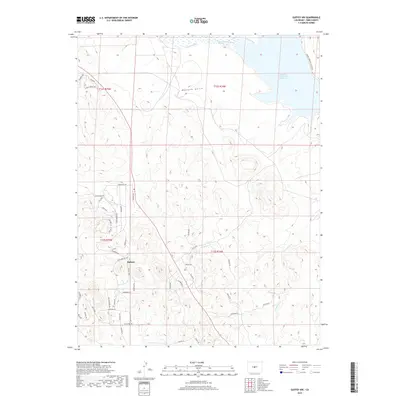
1956 Antero Reservoir
Park County, CO
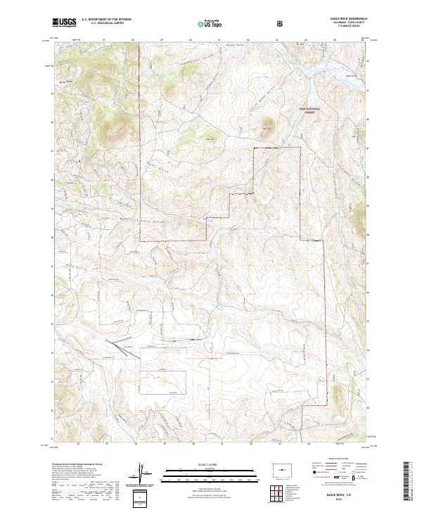
1956 Eagle Rock
Park County, CO

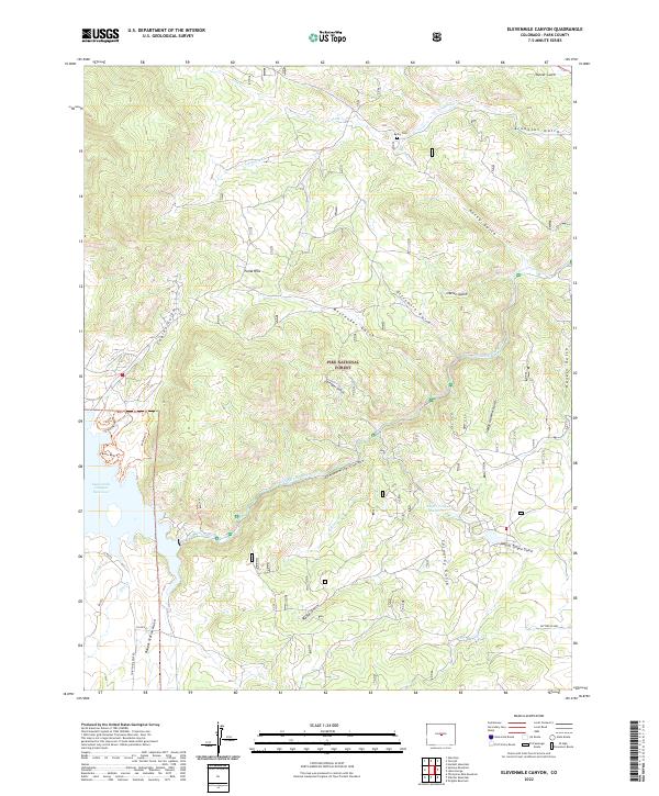
1956 Elevenmile Canyon
Park County, CO
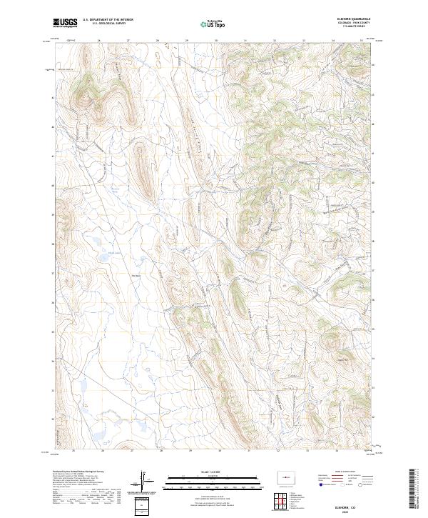
1956 Elkhorn
Park County, CO
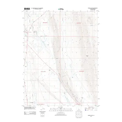
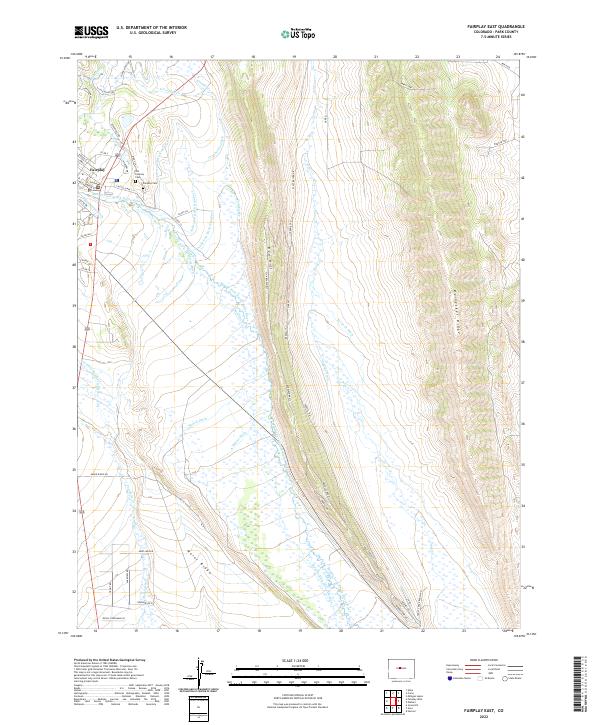
1956 Fairplay East
Park County, CO
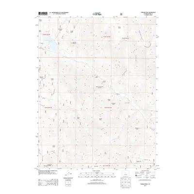
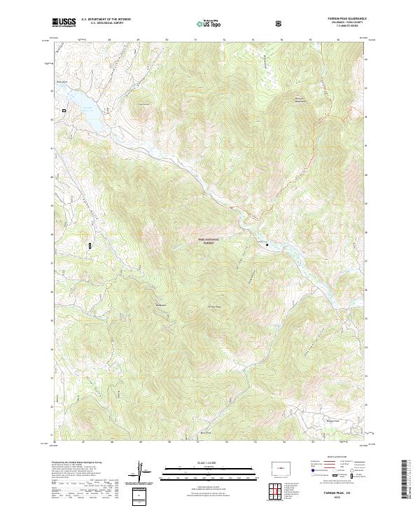
1956 Farnum Peak
Park County, CO
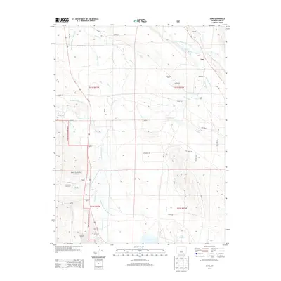
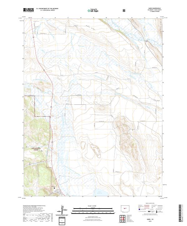
1956 Garo
Park County, CO
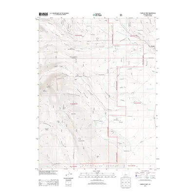
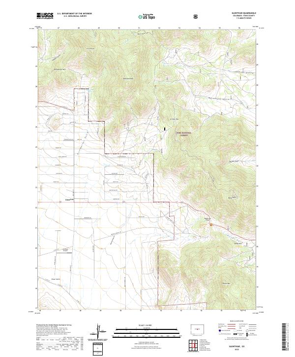
1956 Glentivar
Park County, CO
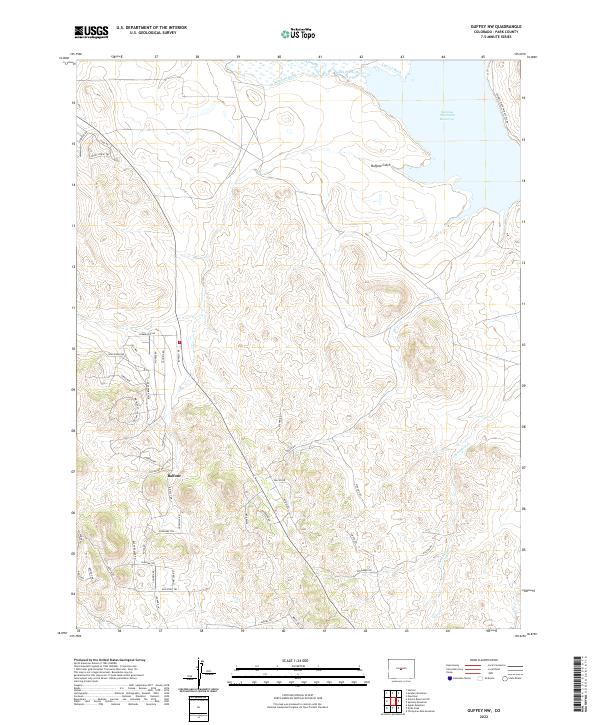
1956 Guffey NW
Park County, CO
1956 Mc Curdy Mountain
Park County, CO
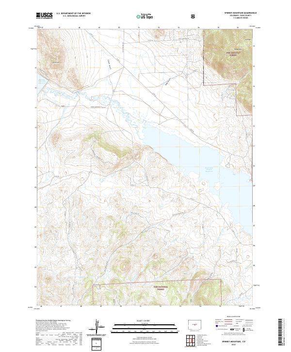
1956 Spinney Mountain
Park County, CO
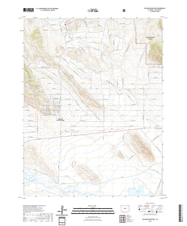
1956 Sulphur Mountain
Park County, CO
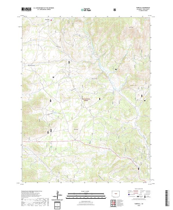
1956 Tarryall
Park County, CO
1957 Como
Park County, CO
1957 Milligan Lakes
Park County, CO
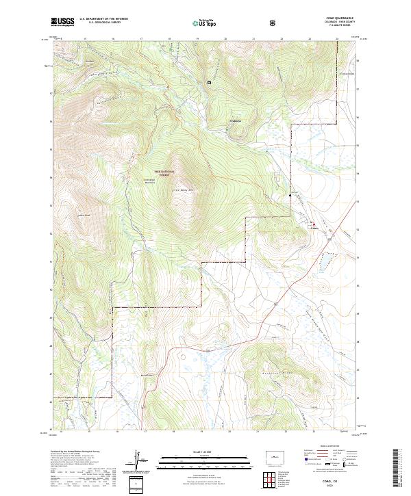
1958 Como
Park County, CO
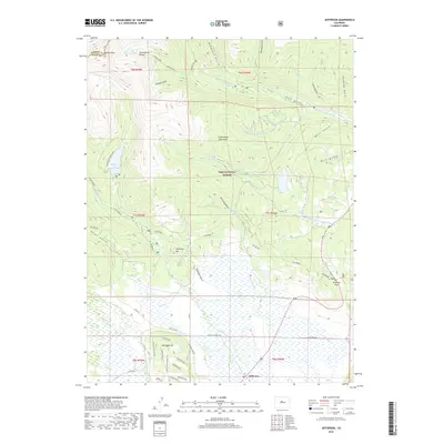
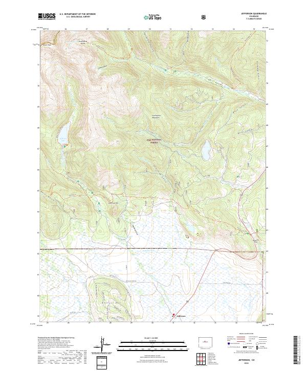
1958 Jefferson
Park County, CO
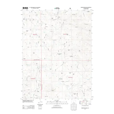
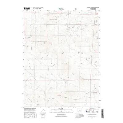
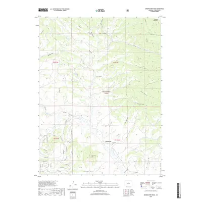
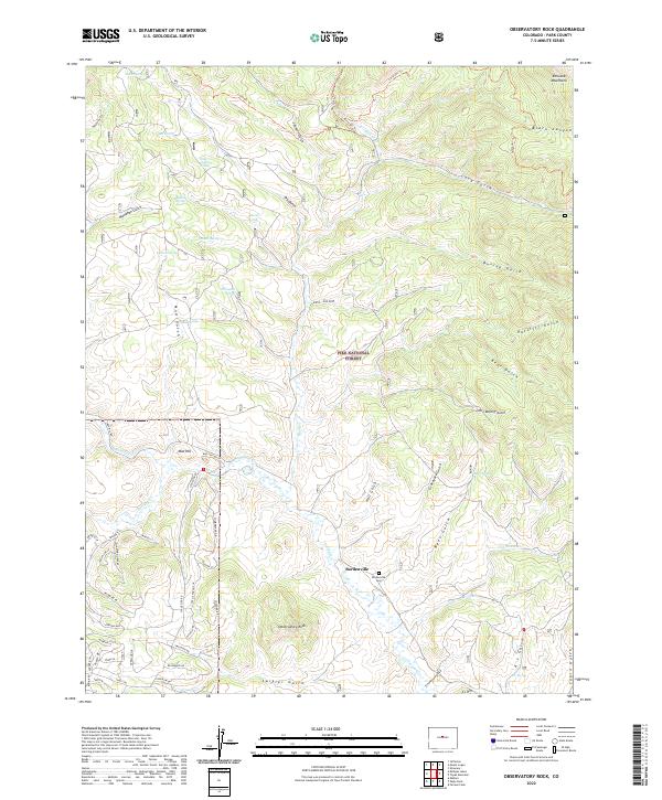
1958 Observatory Rock
Park County, CO
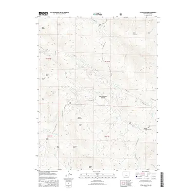
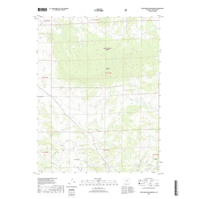
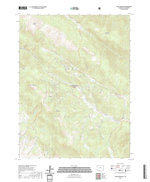
1958 Topaz Mountain
Park County, CO
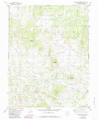
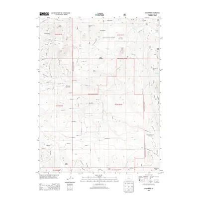
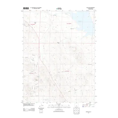
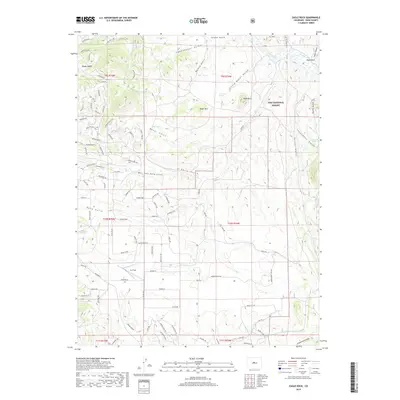
1959 Antero Reservoir
Park County, CO
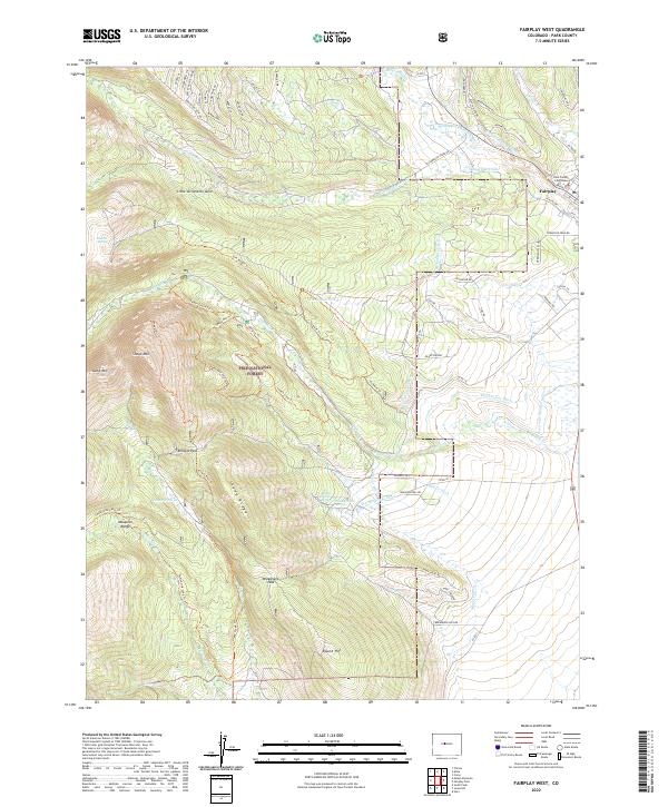
1960 Fairplay West
Park County, CO
1960 Jones Hill
Park County, CO
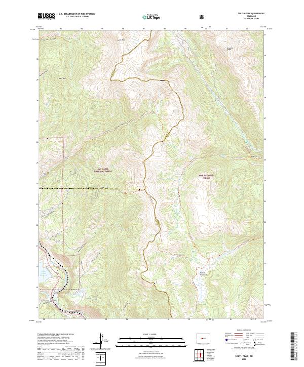
1961 South Peak
Park County, CO
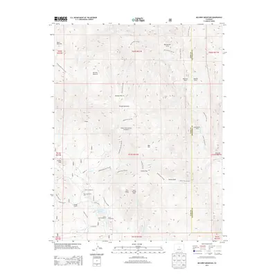
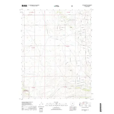
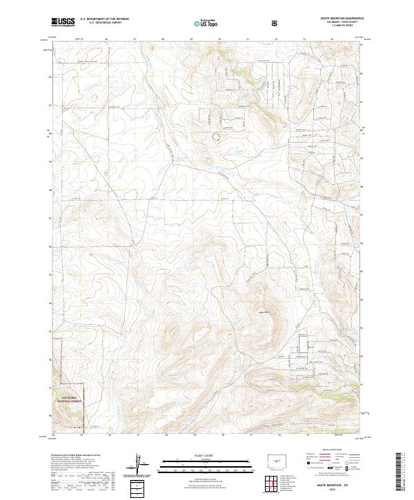
1983 Agate Mountain
Park County, CO
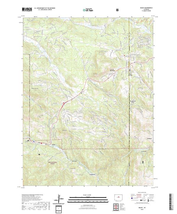
1983 Bailey
Park County, CO
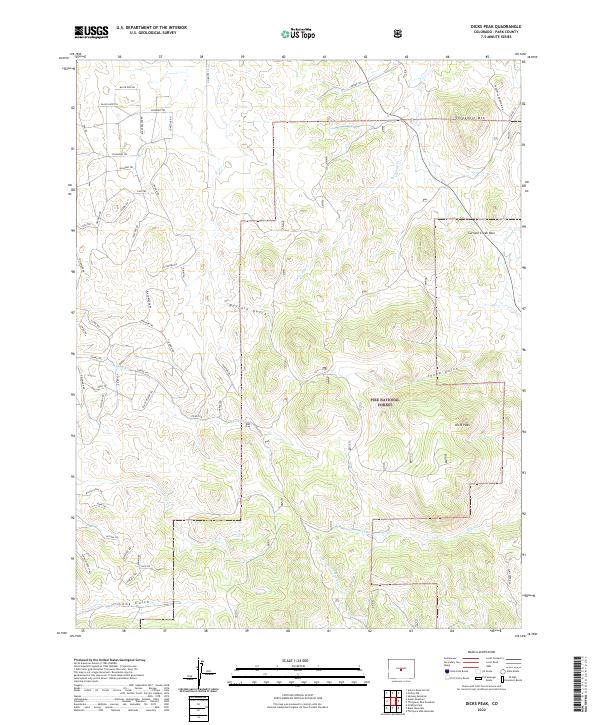
1983 Dicks Peak
Park County, CO

1983 Pikes Peak
Park County, CO
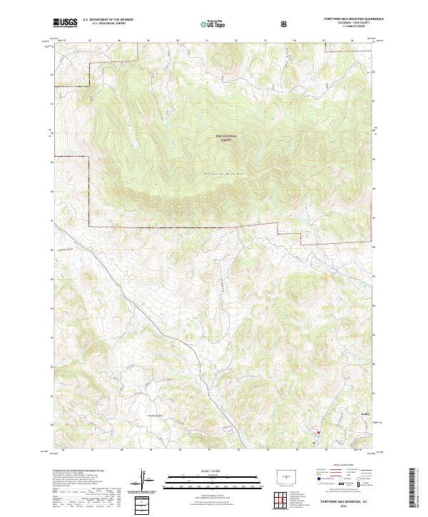
1983 Thirtynine Mile Mountain
Park County, CO
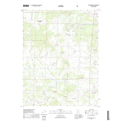
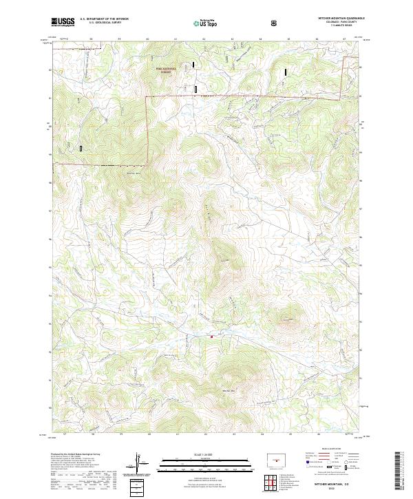
1983 Witcher Mountain
Park County, CO
1987 Bailey
Park County, CO
1987 Mount Logan
Park County, CO
1987 Shawnee
Park County, CO
1994 Agate Mountain
Park County, CO
1994 Antero Reservoir
Park County, CO
1994 Bailey
Park County, CO
1994 Como
Park County, CO
1994 Dicks Peak
Park County, CO
1994 Eagle Rock
Park County, CO
1994 Elevenmile Canyon
Park County, CO
1994 Fairplay West
Park County, CO
1994 Farnum Peak
Park County, CO
1994 Garo
Park County, CO
1994 Glentivar
Park County, CO
1994 Jefferson
Park County, CO

1994 Jones Hill
Park County, CO
1994 Mc Curdy Mountain
Park County, CO
1994 Milligan Lakes
Park County, CO
1994 Mount Logan
Park County, CO
1994 Observatory Rock
Park County, CO
1994 Shawnee
Park County, CO
1994 South Peak
Park County, CO
1994 Spinney Mountain
Park County, CO
1994 Sulphur Mountain
Park County, CO
1994 Tarryall
Park County, CO
1994 Thirtynine Mile Mountain
Park County, CO
1994 Topaz Mountain
Park County, CO
1994 Windy Peak
Park County, CO
1994 Witcher Mountain
Park County, CO
2010 Antero Reservoir NE
Park County, CO
2010 Elkhorn
Park County, CO
2010 Fairplay East
Park County, CO
2010 Guffey NW
Park County, CO
2011 Agate Mountain
Park County, CO
2011 Antero Reservoir
Park County, CO
2011 Bailey
Park County, CO
2011 Como
Park County, CO
2011 Dicks Peak
Park County, CO
2011 Eagle Rock
Park County, CO
2011 Elevenmile Canyon
Park County, CO
2011 Fairplay West
Park County, CO
2011 Farnum Peak
Park County, CO
2011 Garo
Park County, CO
2011 Glentivar
Park County, CO
2011 Jefferson
Park County, CO
2011 Jones Hill
Park County, CO
2011 McCurdy Mountain
Park County, CO
2011 Milligan Lakes
Park County, CO
2011 Mount Logan
Park County, CO
2011 Observatory Rock
Park County, CO
2011 Shawnee
Park County, CO
2011 South Peak
Park County, CO
2011 Spinney Mountain
Park County, CO
2011 Sulphur Mountain
Park County, CO
2011 Tarryall
Park County, CO
2011 Thirtynine Mile Mountain
Park County, CO
2011 Topaz Mountain
Park County, CO
2011 Windy Peak
Park County, CO
2011 Witcher Mountain
Park County, CO
2013 Agate Mountain
Park County, CO
2013 Antero Reservoir NE
Park County, CO
2013 Antero Reservoir
Park County, CO
2013 Bailey
Park County, CO

2013 Como
Park County, CO
2013 Dicks Peak
Park County, CO
2013 Eagle Rock
Park County, CO
2013 Elevenmile Canyon
Park County, CO
2013 Elkhorn
Park County, CO
2013 Fairplay East
Park County, CO
2013 Fairplay West
Park County, CO
2013 Farnum Peak
Park County, CO
2013 Garo
Park County, CO
2013 Glentivar
Park County, CO
2013 Guffey NW
Park County, CO
2013 Jefferson
Park County, CO
2013 Jones Hill
Park County, CO
2013 McCurdy Mountain
Park County, CO
2013 Milligan Lakes
Park County, CO
2013 Mount Logan
Park County, CO
2013 Observatory Rock
Park County, CO
2013 Shawnee
Park County, CO
2013 South Peak
Park County, CO
2013 Spinney Mountain
Park County, CO
2013 Sulphur Mountain
Park County, CO
2013 Tarryall
Park County, CO
2013 Thirtynine Mile Mountain
Park County, CO
2013 Topaz Mountain
Park County, CO
2013 Windy Peak
Park County, CO
2013 Witcher Mountain
Park County, CO
2016 Agate Mountain
Park County, CO
2016 Antero Reservoir NE
Park County, CO
2016 Antero Reservoir
Park County, CO
2016 Bailey
Park County, CO
2016 Como
Park County, CO
2016 Dicks Peak
Park County, CO
2016 Eagle Rock
Park County, CO
2016 Elevenmile Canyon
Park County, CO
2016 Elkhorn
Park County, CO
2016 Fairplay East
Park County, CO
2016 Fairplay West
Park County, CO
2016 Farnum Peak
Park County, CO
2016 Garo
Park County, CO
2016 Glentivar
Park County, CO
2016 Guffey NW
Park County, CO
2016 Jefferson
Park County, CO
2016 Jones Hill
Park County, CO
2016 McCurdy Mountain
Park County, CO
2016 Milligan Lakes
Park County, CO
2016 Mount Logan
Park County, CO
2016 Observatory Rock
Park County, CO
2016 Shawnee
Park County, CO
2016 South Peak
Park County, CO
2016 Spinney Mountain
Park County, CO
2016 Sulphur Mountain
Park County, CO
2016 Tarryall
Park County, CO
2016 Thirtynine Mile Mountain
Park County, CO
2016 Topaz Mountain
Park County, CO
2016 Windy Peak
Park County, CO
2016 Witcher Mountain
Park County, CO
2019 Agate Mountain
Park County, CO
2019 Antero Reservoir NE
Park County, CO
2019 Antero Reservoir
Park County, CO
2019 Bailey
Park County, CO
2019 Como
Park County, CO
2019 Dicks Peak
Park County, CO
2019 Eagle Rock
Park County, CO
2019 Elevenmile Canyon
Park County, CO
2019 Elkhorn
Park County, CO
2019 Fairplay East
Park County, CO
2019 Fairplay West
Park County, CO
2019 Farnum Peak
Park County, CO
2019 Garo
Park County, CO
2019 Glentivar
Park County, CO
2019 Guffey NW
Park County, CO
2019 Jefferson
Park County, CO
2019 Jones Hill
Park County, CO
2019 McCurdy Mountain
Park County, CO
2019 Milligan Lakes
Park County, CO
2019 Mount Logan
Park County, CO
2019 Observatory Rock
Park County, CO
2019 Shawnee
Park County, CO
2019 South Peak
Park County, CO
2019 Spinney Mountain
Park County, CO
2019 Sulphur Mountain
Park County, CO
2019 Tarryall
Park County, CO
2019 Thirtynine Mile Mountain
Park County, CO
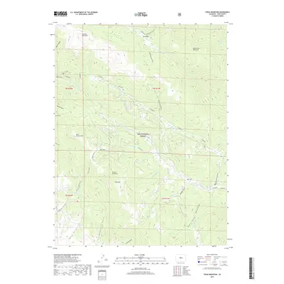
2019 Topaz Mountain
Park County, CO
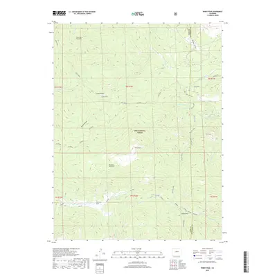
2019 Windy Peak
Park County, CO
2019 Witcher Mountain
Park County, CO
2022 Agate Mountain
Park County, CO
2022 Antero Reservoir NE
Park County, CO
2022 Antero Reservoir
Park County, CO
2022 Bailey
Park County, CO
2022 Como
Park County, CO
2022 Dicks Peak
Park County, CO
2022 Eagle Rock
Park County, CO
2022 Elevenmile Canyon
Park County, CO
2022 Fairplay East
Park County, CO
2022 Fairplay West
Park County, CO
2022 Farnum Peak
Park County, CO
2022 Garo
Park County, CO
2022 Glentivar
Park County, CO
2022 Guffey NW
Park County, CO
2022 Jefferson
Park County, CO
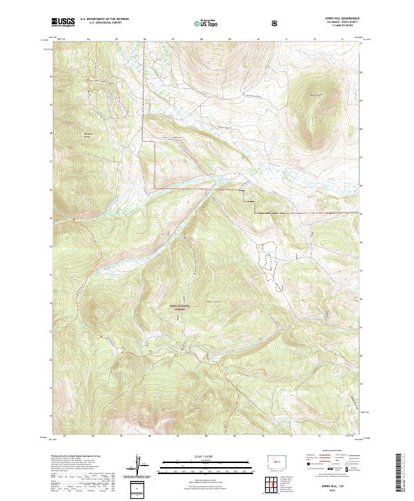
2022 Jones Hill
Park County, CO
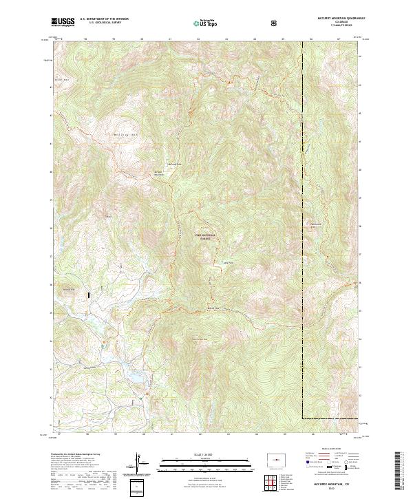
2022 McCurdy Mountain
Park County, CO
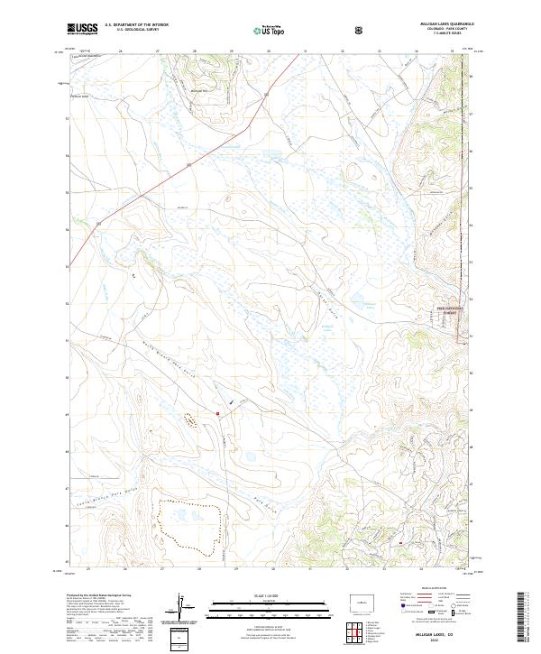
2022 Milligan Lakes
Park County, CO
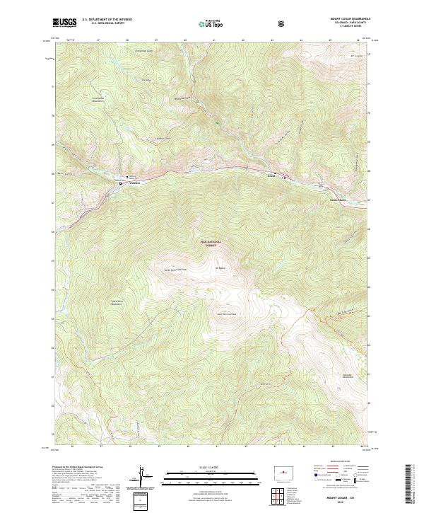
2022 Mount Logan
Park County, CO
2022 Observatory Rock
Park County, CO
2022 Shawnee
Park County, CO
2022 South Peak
Park County, CO
2022 Spinney Mountain
Park County, CO
2022 Sulphur Mountain
Park County, CO
2022 Tarryall
Park County, CO
2022 Thirtynine Mile Mountain
Park County, CO
2022 Topaz Mountain
Park County, CO
2022 Windy Peak
Park County, CO
2022 Witcher Mountain
Park County, CO
2023 Elkhorn
Park County, CO