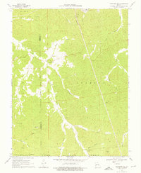
1969 Map of Anthonies Mill
USGS Topo · Published 1976About this map
Anthonies Mill serves as a central landmark in this 1960s landscape, where the rugged terrain of Pea Ridge meets the intricate drainage network of Courtois Creek and Brazil Creek. The area reflects a mix of remote industrial activity and deeply rooted local history, characterized by scattered mines and several family or community burial grounds. Industrial signatures are prominent, including the Pea Ridge Mine in the north and the Old Christy Mine further south, connected by a utility Pipeline that cuts across the timbered ridges of the Boone National Forest.
Find a feature on this map
35 named features on this map. Tap any name to fly to it.
Don’t see what you’re looking for? This feature index may not catch every label — zoom into the map to look around manually.
Map Details
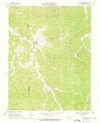
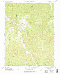
Editions of this 1969 Anthonies Mill Map
3 editions found
Other maps of this area

1901 · De Soto
USGS Topo · 1:125,000

1903 · Sullivan
USGS Topo · 1:125,000

1906 · Potosi
USGS Topo · 1:62,500

1934 · Meramec State Park
USGS Topo · 1:24,000

1937 · Meramec State Park
USGS Topo · 1:24,000

1943 · Berryman
USGS Topo · 1:62,500

1945 · Berryman
USGS Topo · 1:62,500

1946 · Richwoods
USGS Topo · 1:62,500

1947 · Sullivan
USGS Topo · 1:62,500

1948 · Richwoods
USGS Topo · 1:62,500