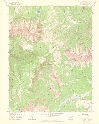
1961 Map of Anthracite Range
USGS Topo · Published 1968About this map
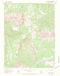
Gunnison National Forest dominates this early 1960s topographic study, revealing a high-altitude landscape defined by steep ridges and glacial water bodies. The dramatic profile of East Beckwith Mtn and the unique geological formation of The Dyke overlook a network of seasonal access routes, including numerous pack trails and jeep trails that connect remote outposts. Settlement is sparse, limited to specialized sites like Horse Ranch Park and Castle Creek Cow Camp, reflecting the area's history of livestock grazing and summer recreation.
Find a feature on this map
29 named features on this map. Tap any name to fly to it.
Don’t see what you’re looking for? This feature index may not catch every label — zoom into the map to look around manually.
Map Details
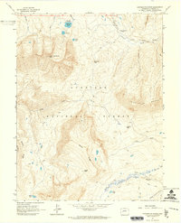
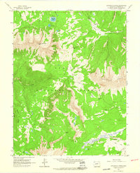
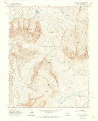
Editions of this 1961 Anthracite Range Map
7 editions found
Other maps of this area

1888 · Anthracite
USGS Topo · 1:62,500

1889 · Anthracite
USGS Topo · 1:62,500

1893 · Anthracite
USGS Topo · 1:62,500

1894 · Anthracite
USGS Topo · 1:62,500

1938 · Mt. Gunnison
USGS Topo · 1:48,000

1945 · Mount Gunnison
USGS Topo · 1:62,500

1956 · Montrose
USGS Topo · 1:250,000

1959 · Montrose
USGS Topo · 1:250,000

1960 · Montrose
USGS Topo · 1:250,000
1961 · Oh-Be-Joyful
USGS Topo · 1:24,000