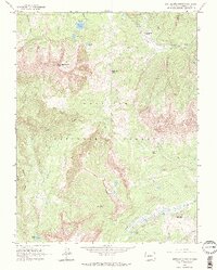
1961 Map of Anthracite Range
USGS Topo · Published 1983About this map
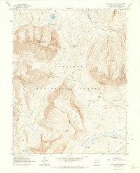
Gunnison National Forest dominates this high-altitude landscape in the early 1960s, defined by the sharp elevations of the Anthracite Range and the massive profile of East Beckwith Mtn. This 1961 survey captures a wilderness area shaped by geological features like The Dyke and Storm Ridge, where human presence is primarily marked by seasonal camps and outdoor recreation rather than permanent settlements. High mountain passes including Beckwith Pass, Swampy Pass, and Castle Pass indicate the primary routes for traversable movement through the complex terrain.
Find a feature on this map
29 named features on this map. Tap any name to fly to it.
Don’t see what you’re looking for? This feature index may not catch every label — zoom into the map to look around manually.
Map Details
Editions of this 1961 Anthracite Range Map
7 editions found
Other maps of this area

1888 · Anthracite
USGS Topo · 1:62,500

1889 · Anthracite
USGS Topo · 1:62,500

1893 · Anthracite
USGS Topo · 1:62,500

1894 · Anthracite
USGS Topo · 1:62,500

1938 · Mt. Gunnison
USGS Topo · 1:48,000

1945 · Mount Gunnison
USGS Topo · 1:62,500

1956 · Montrose
USGS Topo · 1:250,000

1959 · Montrose
USGS Topo · 1:250,000

1960 · Montrose
USGS Topo · 1:250,000
1961 · Oh-Be-Joyful
USGS Topo · 1:24,000