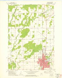
1973 Map of Antigo
USGS Topo · Published 1976About this map
Antigo serves as the focal point of this Langlade County study, where the city's residential and civic footprint is documented during the early 1970s. The landscape is defined by the convergence of the Eau Claire River and its branches, with Antigo Lake and Spring Brook providing a natural framework for the growing community. Significant social and educational infrastructure is visible, including the North Central Technical Institute and a concentration of parochial institutions such as St Hyacinths Sch and St Marys Sch. Outside the main settlement, the area transitions into rural townships like Peck and Neva, where older rural education sites like River Grove Sch and small communities such as Deerbrook and Neva Corners persist. The presence of the Chicago and North Western rail line and several gravel pits indicates the local industrial and transportation ties of the era.
Find a feature on this map
58 named features on this map. Tap any name to fly to it.
Don’t see what you’re looking for? This feature index may not catch every label — zoom into the map to look around manually.
Map Details
Editions of this 1973 Antigo Map
2 editions found
Other maps of this area

1899 · Wausau
USGS Topo · 1:125,000

1902 · Wausau
USGS Topo · 1:125,000

1940 · Parrish
USGS Topo · 1:48,000

1942 · Elcho
USGS Topo · 1:48,000

1950 · Elcho
USGS Topo · 1:48,000

1950 · Parrish
USGS Topo · 1:48,000

1951 · Doering
USGS Topo · 1:48,000

1952 · Parrish
USGS Topo · 1:48,000

1952 · Antigo
USGS Topo · 1:48,000

1954 · Iron Mountain
USGS Topo · 1:250,000