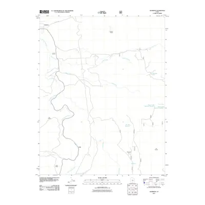
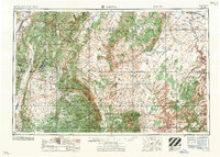
2011 Map of Antimony
USGS Topo · Published 2011About this map
Antimony and the surrounding high-country water systems define this Garfield County landscape at the turn of the 21st century. The map illustrates a critical watershed where the East Fork Sevier River meets tributaries like Antimony Creek and Poison Creek. Local history is anchored by the Antimony Cemetery north of the primary settlement, while the southern reach of the quadrangle shows the small community of Osiris near the river's bend. This area is characterized by its sophisticated water management, including the Dan Day Reservoir, Antimony Lake, and several numbered reservoirs such as Poison Creek Reservoir Number 1. Significant terrain features like Mud Lake Flat, The Pockets, and Russell Hollow highlight the varied topography of Johns Valley, providing a clear view of how land use and hydrology have shaped this part of Utah.
Find a feature on this map
22 named features on this map. Tap any name to fly to it.
Don’t see what you’re looking for? This feature index may not catch every label — zoom into the map to look around manually.
Map Details
Editions of this 2011 Antimony Map
This is the sole edition of this map. No revisions or reprints were ever made.
Other maps of this area
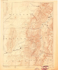
1885 · Beaver
USGS Topo · 1:250,000
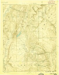
1885 · Fish Lake
USGS Topo · 1:250,000
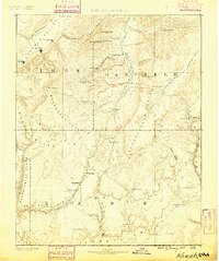
1886 · Kanab
USGS Topo · 1:250,000
1886 · Escalante
USGS Topo · 1:250,000
1896 · Fish Lake
USGS Topo · 1:250,000

1953 · Richfield
USGS Topo · 1:250,000
1953 · Cedar City
USGS Topo · 1:250,000
1956 · Escalante
USGS Topo · 1:250,000
1956 · Salina
USGS Topo · 1:250,000

1958 · Richfield
USGS Topo · 1:250,000