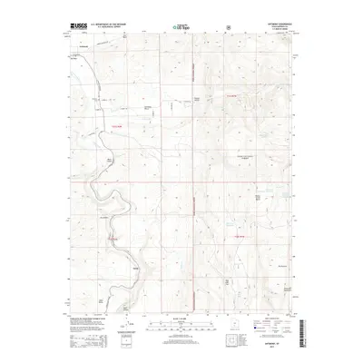
2014 Map of Antimony
USGS Topo · Published 2014About this map
The small settlement of Antimony and the surrounding high-plateau landscape of Garfield County are captured in this topographical overview. Situated at the base of the Escalante Mountains, the area is defined by the winding course of the E Fork Sevier River and the stark elevation changes of Black Canyon and the Antimony Bench. This 2014 data documents a rural environment where land use is dictated by the rugged terrain of the Dixie National Forest and the management of water resources, visible in features like the Dan Day Reservoir and Poison Cr Reservoir Number 2. Local history and family connections are anchored by the Antimony Cem and the named crossroads leading toward the small community of Osiris. The map illustrates a remote Utah landscape where high-altitude water bodies like Antimony Lake contrast with dry drainage features such as Dry Wash.
Find a feature on this map
40 named features on this map. Tap any name to fly to it.
Don’t see what you’re looking for? This feature index may not catch every label — zoom into the map to look around manually.
Map Details
Editions of this 2014 Antimony Map
This is the sole edition of this map. No revisions or reprints were ever made.
Other maps of this area

1885 · Beaver
USGS Topo · 1:250,000

1885 · Fish Lake
USGS Topo · 1:250,000

1886 · Kanab
USGS Topo · 1:250,000

1886 · Escalante
USGS Topo · 1:250,000

1896 · Fish Lake
USGS Topo · 1:250,000

1953 · Richfield
USGS Topo · 1:250,000

1953 · Cedar City
USGS Topo · 1:250,000

1956 · Escalante
USGS Topo · 1:250,000

1956 · Salina
USGS Topo · 1:250,000

1958 · Richfield
USGS Topo · 1:250,000