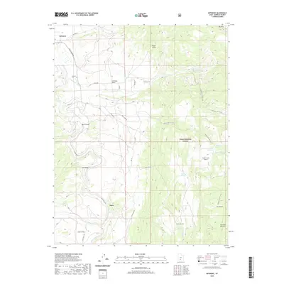
2020 Map of Antimony
USGS Topo · Published 2020About this map
The E Fork Sevier River carves through this southern Utah landscape, creating a geographic focal point between the high country of the Dixie National Forest and the lower flats. The settlement of Antimony and the nearby Antimony Cem anchor the northwestern portion of the map, while the historical site of Osiris sits further south along the river valley. The terrain is defined by dramatic transitions, from the steep walls of Black Canyon to the broad expanse of Antimony Bench.
Find a feature on this map
39 named features on this map. Tap any name to fly to it.
Don’t see what you’re looking for? This feature index may not catch every label — zoom into the map to look around manually.
Map Details
Editions of this 2020 Antimony Map
This is the sole edition of this map. No revisions or reprints were ever made.
Other maps of this area

1885 · Beaver
USGS Topo · 1:250,000

1885 · Fish Lake
USGS Topo · 1:250,000

1886 · Kanab
USGS Topo · 1:250,000

1886 · Escalante
USGS Topo · 1:250,000

1896 · Fish Lake
USGS Topo · 1:250,000

1953 · Richfield
USGS Topo · 1:250,000

1953 · Cedar City
USGS Topo · 1:250,000

1956 · Escalante
USGS Topo · 1:250,000

1956 · Salina
USGS Topo · 1:250,000

1958 · Richfield
USGS Topo · 1:250,000